Malaspina Glacier Gallery
Pictures of, from, or near Malaspina Glacier.
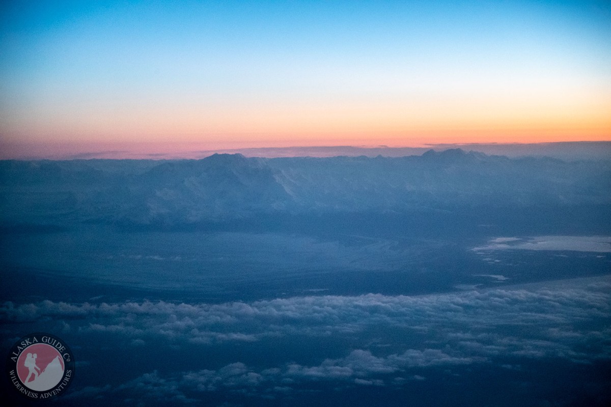
heads 8 mi. S of Alaska-Canada boundary, trends S 28 mi. to Gulf of Alaska, 38 mi. NW of Yakutat; St. Elias Mts.
named Malaspina Plateau in 1874 by W. H. Dall, U.S. Coast and Geodetic Survey (USC&GS), who at the time did not recognize its true character because of its cover of morainal material. Malaspina, Italian navigator and explorer in the service of Spain, who explored the NW coast of North America in 1791. closer approach to the glacier was made in 1880 and its true character was seen. Glacier (U S. Coast and Geodetic Survey, 1883, p. 211).
Agassiz Glacier, Malaspina Glacier,
Lakes:Mountains:Mountain Ranges:Pictures of, from, or near Malaspina Glacier.