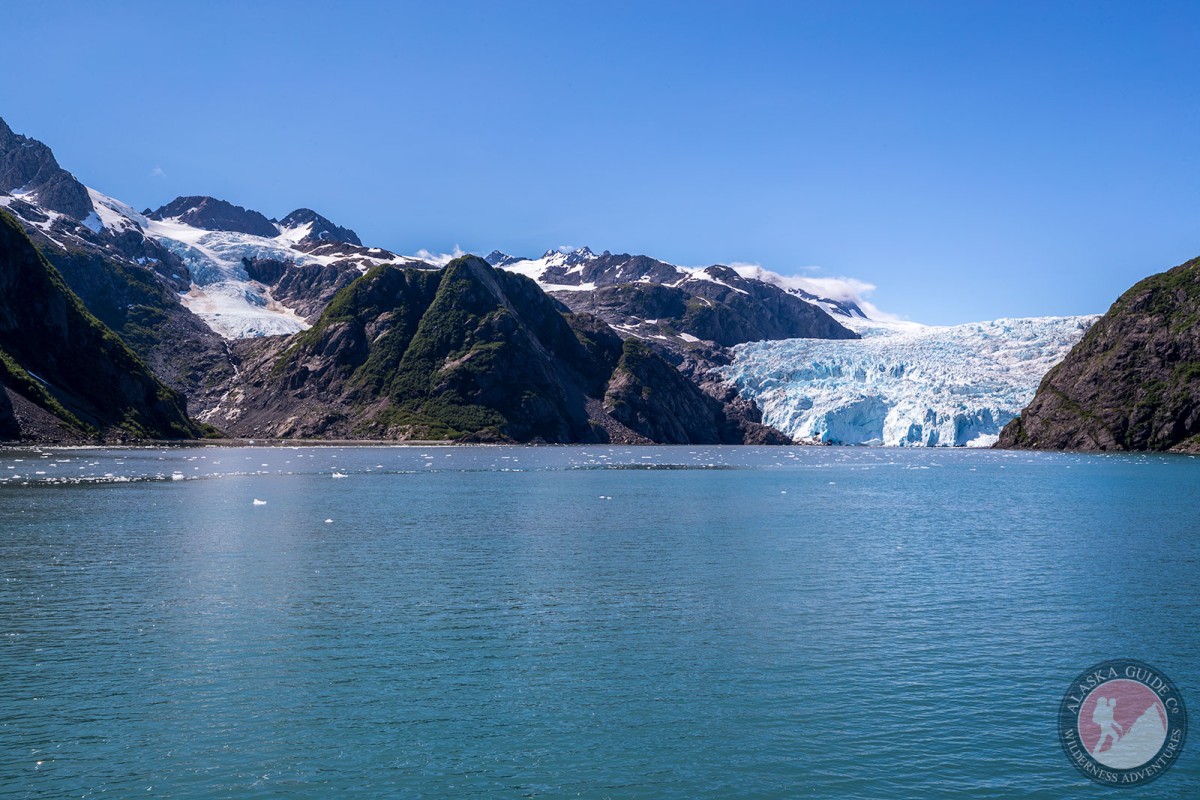
Holgate Glacier Gallery
Pictures of, from, or near Holgate Glacier.
trends SE to its terminus at Holgate Arm, 24 mi. SW of Seward, Chugach Mts. 5.3 miles long.
Named in 1911 by U. S. Grant, U.S. Geological Survey (USGS), for Dr. T. F. Holgate. See Holgate Arm.
Aialik Bay, Cataract Cove, Crater Bay, Cup Cove, Fire Cove, Harris Bay, Holgate Arm, Lower Pedersen Lagoon, McMullen Cove, Northwestern Fiord, Northwestern Lagoon, Quicksand Cove, Ripple Cove,
Capes:Harris Peninsula, Harris Point, Holgate Head,
Channels:Glaciers:Addison Glacier, Aialik Glacier, Glacier G210103E59831N, Glacier G210154E59811N, Glacier G210165E59785N, Glacier G210167E59798N, Harding Icefield, Holgate Glacier, Northwestern Glacier, Ogive Glacier, Pedersen Glacier, Upper Pedersen Lagoon,
Islands:Dora Island, Frozen Rock, Hub Rock, Slate Island, Squab Island, Twin Islands, Verdant Island,
Parks:Pictures of, from, or near Holgate Glacier.