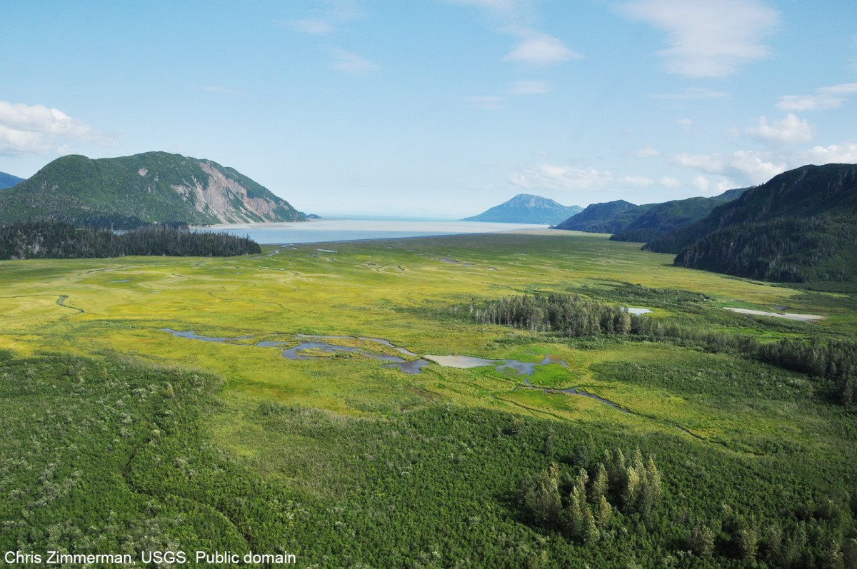
Tuxedni Bay Gallery
Pictures of, from, or near Tuxedni Bay.
extends SE from mouth of Tuxedni River to Cook Inlet, at Chisik I., 52 mi. SW of Kenai, Aleutian Range
Native name published as "Z(aliv) Tukuzit," or "Tukuzit Bay," by Captain Tebenkov (1852, map 5). W. H. Dall, U.S. Coast and Geodetic Survey (USC&GS), reported the name as "Tuk-sed-ni" in the late 1800's.
Snug Harbor, Squarehead Cove, Tuxedni Bay,
Capes:Channels:Islands:Chisik Island, Duck Island, Magnetic Island,
Lakes:Mountains:August Hill, Lenore Hill, Rusty Mountain, Saddle Mountain, Slope Mountain, Triangle Peak,
Rivers:Crescent River, Lake Fork Crescent River, Johnson River, North Fork Crescent River, Tuxedni River,
Streams:Bear Creek, Difficult Creek, Hungryman Creek, Little Polly Creek, Polly Creek, Red Creek,
Pictures of, from, or near Tuxedni Bay.