Tolovana River Gallery
Pictures of, from, or near Tolovana River.
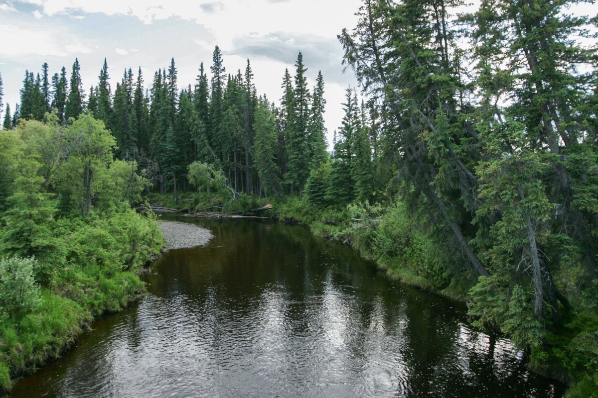
heads at junction of Livengood and Olive Creeks, flows SW to Tanana River, 64 mi. W of Fairbanks, Tanana Low. 188 kilometers long.
Tolovana River is a decent sized interior river that is large enough to float or even canoe, however beware there are many mosquitos along the river.
From Fairbanks, take the Steese Highway north for around 30-40 minutes. Tolovana River crosses under the highway.
A Tanana Indian name reported in 1902 by A. H. Brooks and D. L. Reaburn, U.S. Geological Survey (USGS). The stream had been given the Indian name "Nilkoka" by W. J. Peters and A. H. Brooks in 1898.
Bear Lake, Black Bear Lake, Deadman Lake,
Mountain Ranges:Rivers:Kantishna River, Tolovana River,
Streams:Cities:Pictures of, from, or near Tolovana River.