Mount Barnard Gallery
Pictures of, from, or near Mount Barnard.
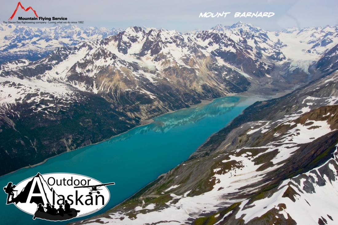
In Glacier Bay National Monument, on Alaska-Canada boundary, 3.5 mi. NE of head of Tarr Inlet and 64 mi. WSW of Skagway, St. Elias Mts.
Named by the International Boundary Commission (IBC) in 1923 for Edward Chester Barnard, 1863 1-en- 1921, U. S. boundary Commissioner from 1915 to 1921. He was born in New York and graduated from Columbia University in 1884. He was a topographer with U.S. Geological Survey (USGS) from 1884 to 1907 and was in charge of a party which mapped the Forty-Mile District and Nome District in Alaska in 1898 and 1900. He was chief topographer of the United States and Canada Boundary Survey from 1903 to 1915.Named in 1923 by IBC for Edward Chester Barnard, 1863-1921, U.S. Boundary Commissioner from 1915-1921. Born in New York and graduated from Columbia University in 1884. He was a topographer with USGS 1884-1907. He was chief topographer of the U.S. and Canada boundary survey 1903-1915.
Johns Hopkins Inlet, Tarr Inlet,
Capes:Glaciers:Grand Pacific Glacier, Jones Glacier, Kadachan Glacier, Margerie Glacier, Rendu Glacier, Topeka Glacier, Toyatte Glacier,
Islands:Mountains:Mount Abdallah, Mount Barnard, Boundary Peak 158, Boundary Peak 159, Mount Forde,
Streams:Pictures of, from, or near Mount Barnard.