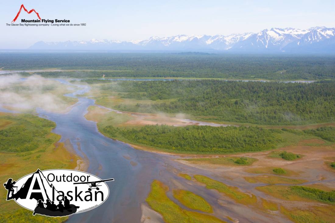
Brabazon Range Gallery
Pictures of, from, or near Brabazon Range.
trends from Alsek River at Gateway Knob NW to Harlequin Lake, 44 mi. SE of Yakutat, St. Elias Mts. 28 miles long.
Named in 1906 by Blackwelder (1907, p. 415), U.S. Geological Survey (USGS), for A. J. Brabazon of the Canadian section of the International Boundary Commission (IBC) who made a photographic survey of the Yakutat Bay region in 1895, and, with the help of those pictures, compiled the first topographic map of this area.
Canyon Glacier, Chamberlain Glacier, Fassett Glacier, Martin Glacier, Novatak Glacier, Rodman Glacier,
Lakes:Square Lake, Tanis Lake, Ustay Lake,
Mountains:Mountain Passes:Mountain Ranges:Rapids:Rivers:Streams:Emile Creek, Gines Creek, Shack Creek, Split Creek, Williams Creek,
Routes:Pictures of, from, or near Brabazon Range.