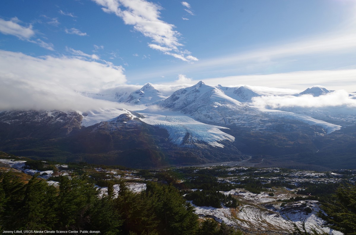
Sargent Icefield Gallery
Pictures of, from, or near Sargent Icefield.
On the E coast of the Kenai Peninsula, trends NE-SW, S of Port Nellie Juan and 25 mi NE of the Harding Icefield, Chugach Mts.
Named in 1952 by U.S. Geological Survey (USGS) for Rufus Harvey Sargent, 1875-1951, U.S. Geological Survey (USGS) topographer who did extensive exploration and mapping on Kenai Peninsula.
Port Nellie Juan, Blue Fiord, Deep Water Bay, Derickson Bay, East Finger Inlet, Gaamaak Cove, Greystone Bay, Humpback Cove, Icy Bay, Jackpot Bay, Kings Bay, Nassau Fiord, Puffin Cove, Seven Fathom Hole, Shady Cove, West Finger Inlet,
Capes:Coxcomb Point, Division Point,
Glaciers:Applegate Glacier, Chenega Glacier, Contact Glacier, Falling Glacier, Kings Glacier, Langdon Glacier, Nellie Juan Glacier, Princeton Glacier, Sargent Ice Field, Sargent Icefield, Taylor Glacier, Tiger Glacier, Tigertail Glacier, Ultramarine Glacier,
Islands:Mink Island, Procession Rocks,
Lakes:Mountains:Streams:Pictures of, from, or near Sargent Icefield.