Johns Hopkins Glacier Gallery
Pictures of, from, or near Johns Hopkins Glacier.
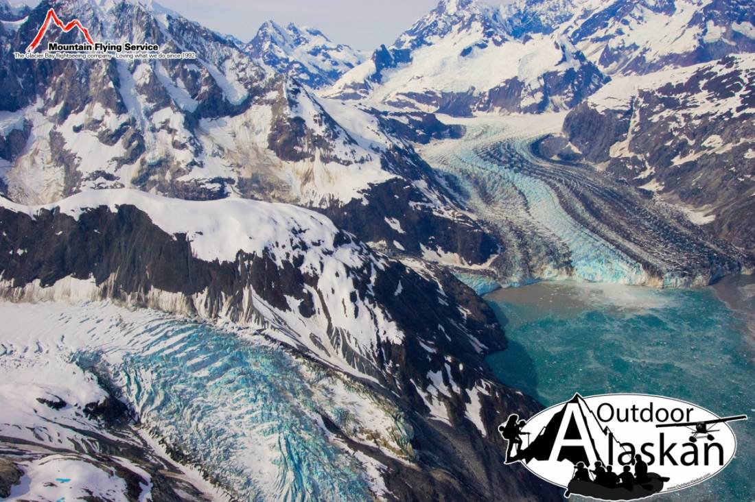
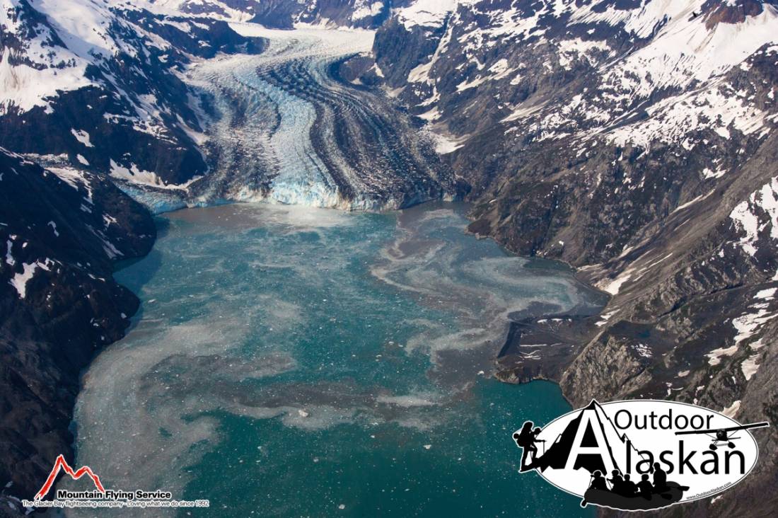
Johns Hopkins Glacier sits inside Glacier Bay National Park, heads on east slope of Lituya Mountain and trends west to head of Johns Hopkins Inlet and 56 miles northwest of Gustavus, or 66 miles southwest of Haines.
Named in 1893 by H. F. Reid (1896, p. 423) for the Johns Hopkins University in Baltimore, Md., chartered in 1869 and opened in 1876.
Crillon Inlet, Johns Hopkins Inlet,
Glaciers:Cascade Glacier, Charley Glacier, Clark Glacier, Gilman Glacier, Hoonah Glacier, Huscroft Glacier, John Glacier, Johns Hopkins Glacier, Jones Glacier, Kadachan Glacier, Lituya Glacier, Lookout Glacier, Margerie Glacier, North Crillon Glacier, South Crillon Glacier, Topeka Glacier, Toyatte Glacier, Tyeen Glacier,
Mountains:Mount Abbe, Bay Peak, Cairn Peak, Carin Peak, Mount Crillon, Mount Dagelet, Grassy Mountain, Mount Klooch, Lituya Mountain, Mount Orville, Mount Salisbury, Mount Turner, Mount Wilbur, Mount Wright,
Mountain Ranges:Ridges:Valleys:Pictures of, from, or near Johns Hopkins Glacier.