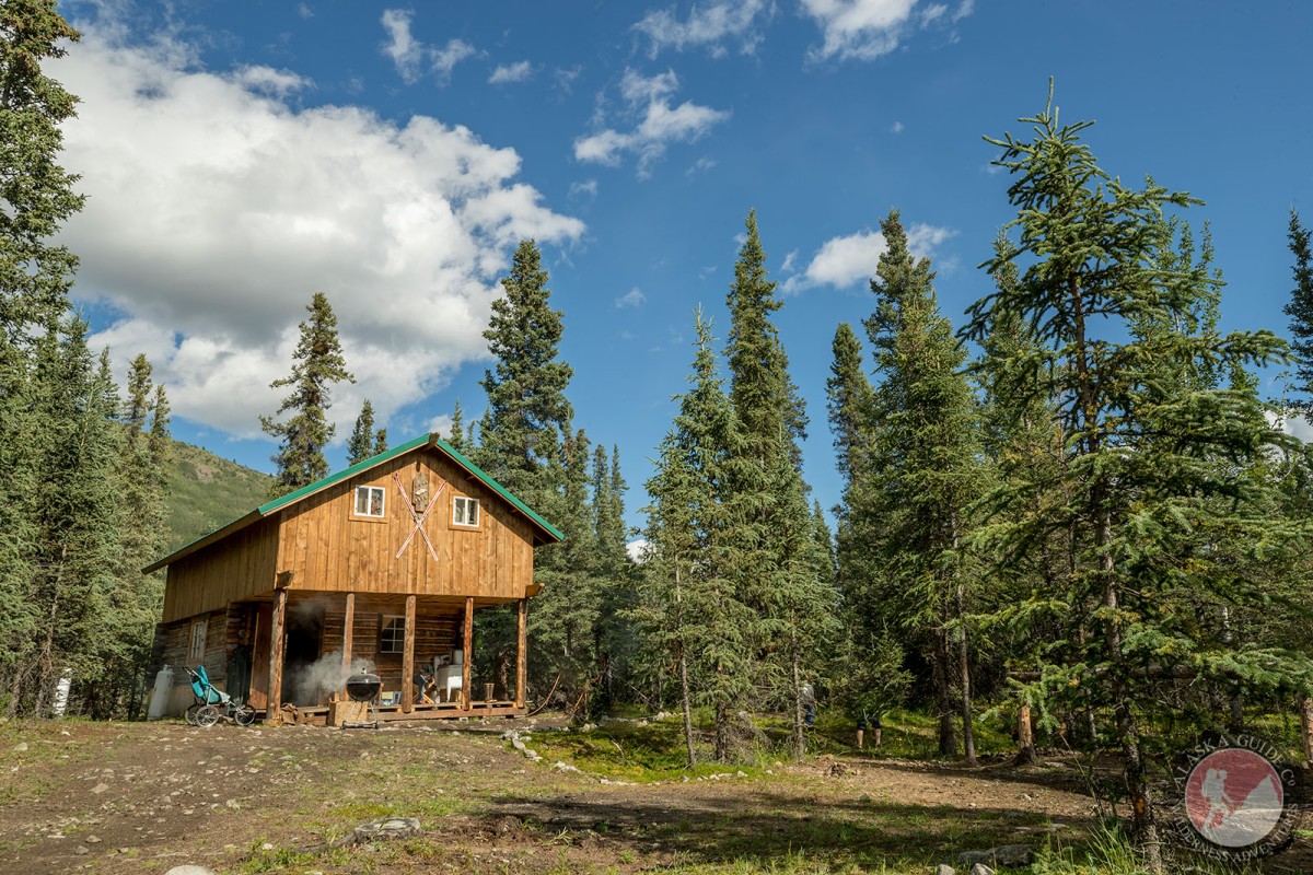
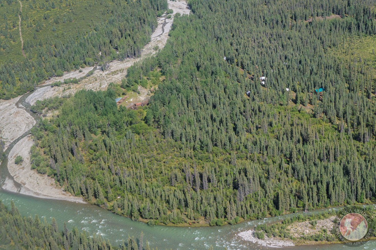
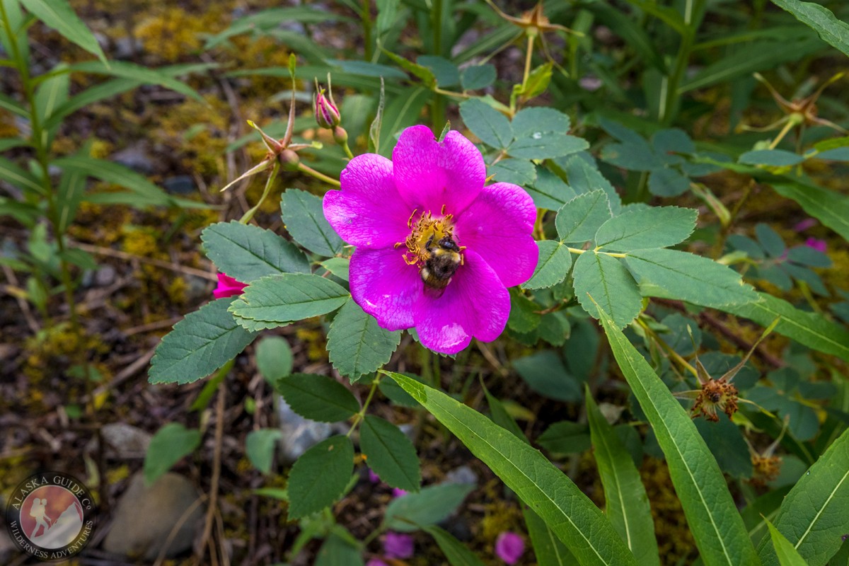
Horsfeld Gallery
Pictures of, from, or near Horsfeld.
on left bank of Beaver Creek, 10 mi. N of Ptarmigan Lake and 70 mi. NE of McCarthy; Alaska Range
Roadhouse and settlement reported in 1914 by C. E. Giffin (in Capps, 1916, pl. 2), U.S. Geological Survey (USGS).Named after miner, Joe Horsfeld who found gold in the area. Two cabins were built near the current site in 1911. In the 1970's, hunting guide Herb Stevens built another cabin, tent frames, and a corral. Horsfeld is currently operated by Wrangell Outfitters.
Braye Lakes, Lake L619992W411784, Ptarmigan Lake, Rock Lake,
Mountains:Dish Mountain, Lower Mountain, Mitten Hill, Wellesley Mountain, Wiki Peak,
Mountain Passes:Streams:Anaconda Creek, Baultoff Creek, Crescent Creek, Fourmile Creek, Francis Creek, Gravel Creek, Horsfeld Creek, Ivereson Creek, Klein Creek, Lamb Creek, Lignite Creek, Little Creek, Ptarmigan Creek, Rocker Creek, Sonya Creek, Young Creek,
Valleys:Pictures of, from, or near Horsfeld.