Susitna River Gallery
Pictures of, from, or near Susitna River.
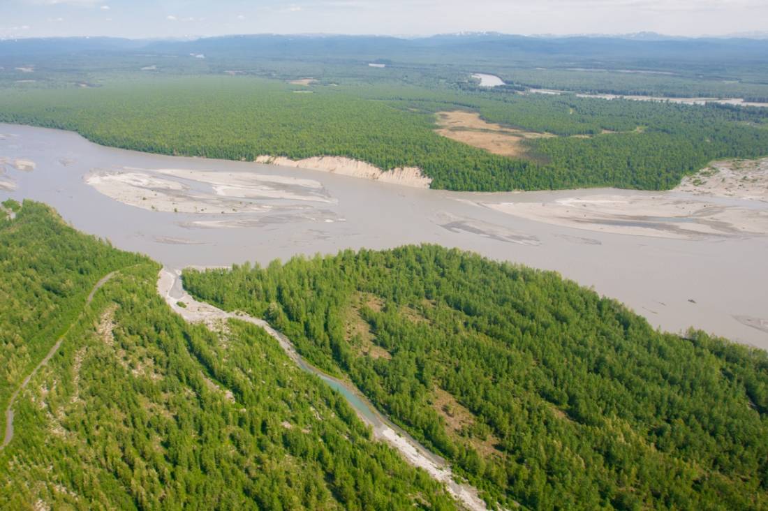
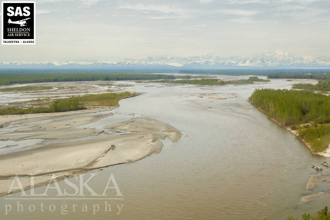
heads at Susitna Glacier, in Alaska Range, flows SW to Cook Inlet, 24 mi. W of Anchorage, Cook Inlet Low.
Tanaina Indian name meaning "sandy river" published by the Russian Hydrographic Dept. as "R(eka) Sushitna," meaning "Sushitna River," on Chart 1378 dated 1847. The river appears to have been first explored in 1834, by a " creole named Malakov," and the name may have been obtained by the Russians at that time (Dall, 1870, p.12,273). The present spelling of the name has evolved due to euphemistic reasons.
| March 6, 2025 | 2 people died | atving | Read More |
Susitna Delta, Susni Kaq, Tanltun Kaq-,
Bars:Capes:Channels:Hills:Islands:Barrel Island, Bell Island, Big Island, Dehgega Inejaht, Delta Island, K-tl-ila T-el-iht, Qalnigi Denuch-dnel-usht,
Lakes:Beaver Lake, Chedatna Lakes, Figure Eight Lake, Flat Horn Lake, Lewis River Slough, Maid Lake, Stump Lake,
Mountains:Mountain Passes:Beluga Slough, Casper Slough, Qalnigi Denuch-dnel-ushtnu, West Fork,
Rivers:Streams:Alexander Creek, Bek-dilyashi Betnu, Fish Creek, Granite Creek, West Fork Fish Creek,
Cities:Pictures of, from, or near Susitna River.