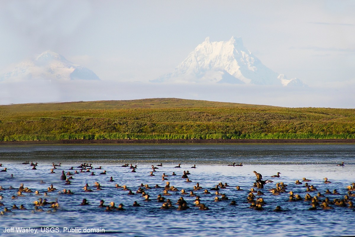
Isanotski Peaks Gallery
Pictures of, from, or near Isanotski Peaks.
on SE Unimak I., Aleutian Islands.
Name derived from Isanotski Strait and published by Captain Tebenkov (1852, map 24), Imperial Russian Navy (IRN), "Sop(ka) Isanotskaya" meaning "Isanotski Volcano."
North Pinnacle Rock, Rock Island, South Pinnacle Rock,
Mountains:Brown Peak, Lazaref Peak, Roundtop Mountain,
Mountain Ranges:Rivers:Pictures of, from, or near Isanotski Peaks.