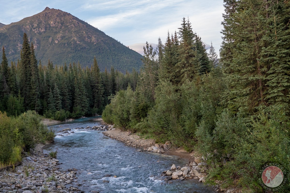
Information About

Marion Creek

Quick Facts

Open in The Map Marion Creek on The Map

Location

67 ° 19' 9.001" N,
150 ° 10' 27.001" W

Region

Yukon-Koyukuk (CA)

Nearest City

Coldfoot

Elevation

1099 ft (334.98 m)

Marion Creek in Detail.

About

flows W to Middle Fork Koyukuk River, 7 mi. S of Wiseman, Brooks Range

History

Local name shown on an 1899 fieldsheet by T. G. Gerdine, U.S. Geological Survey (USGS).

Marion Creek Gallery

Pictures of, from, or near Marion Creek.