Quick Facts
Location
62 ° 1' 59.999" N,
141 ° 46' 59.999" W
Region
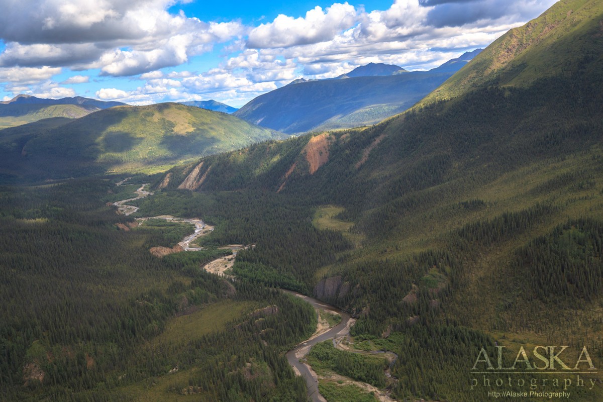
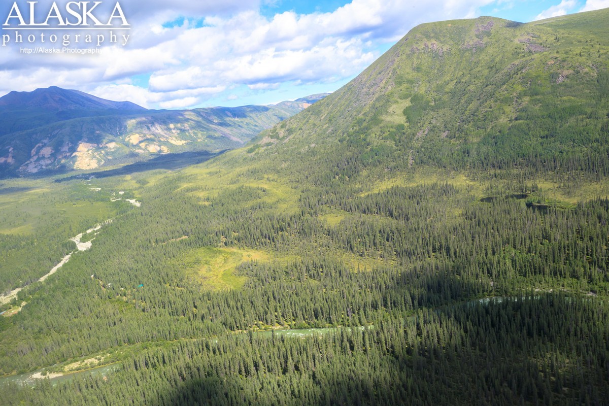
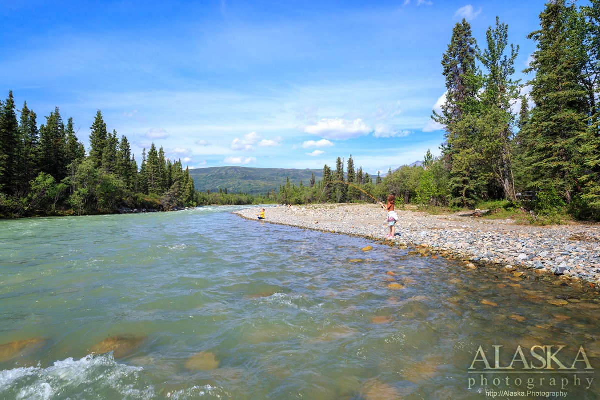
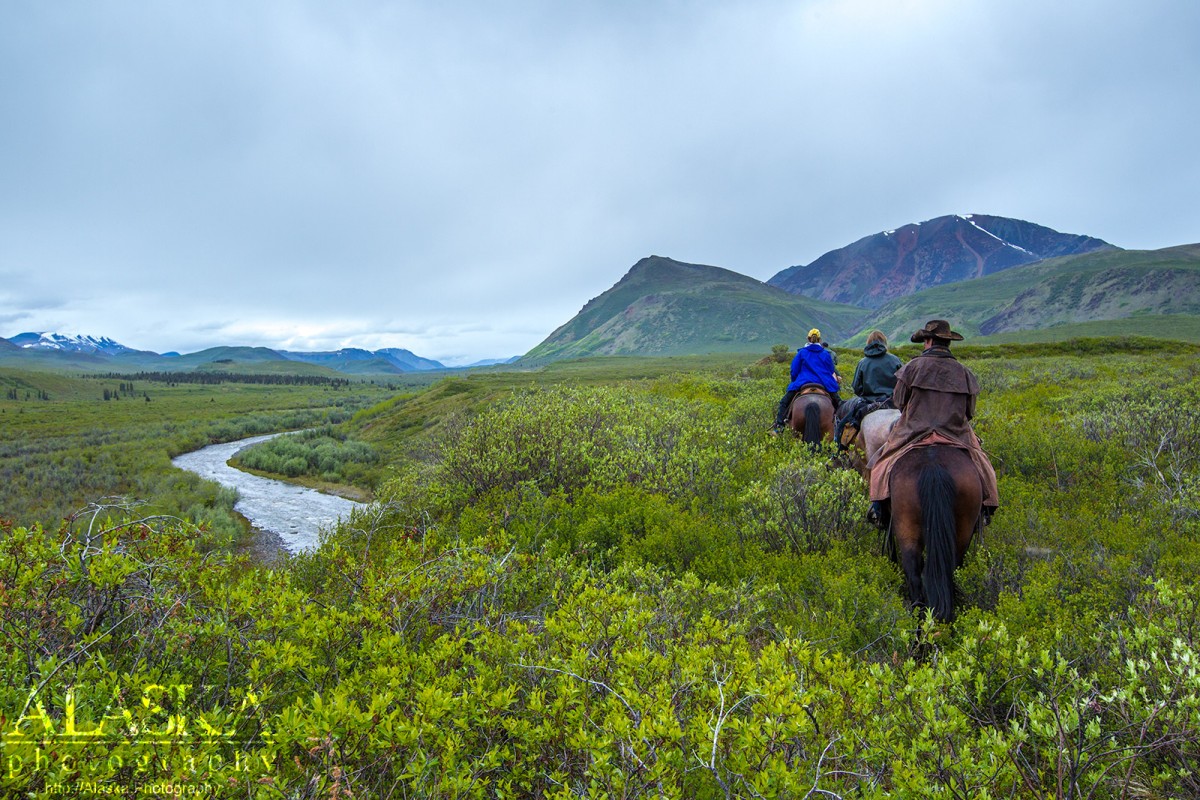
Wrangell-St. Elias National Park and Preserve
Nearest City
Tributary to
Tributaries
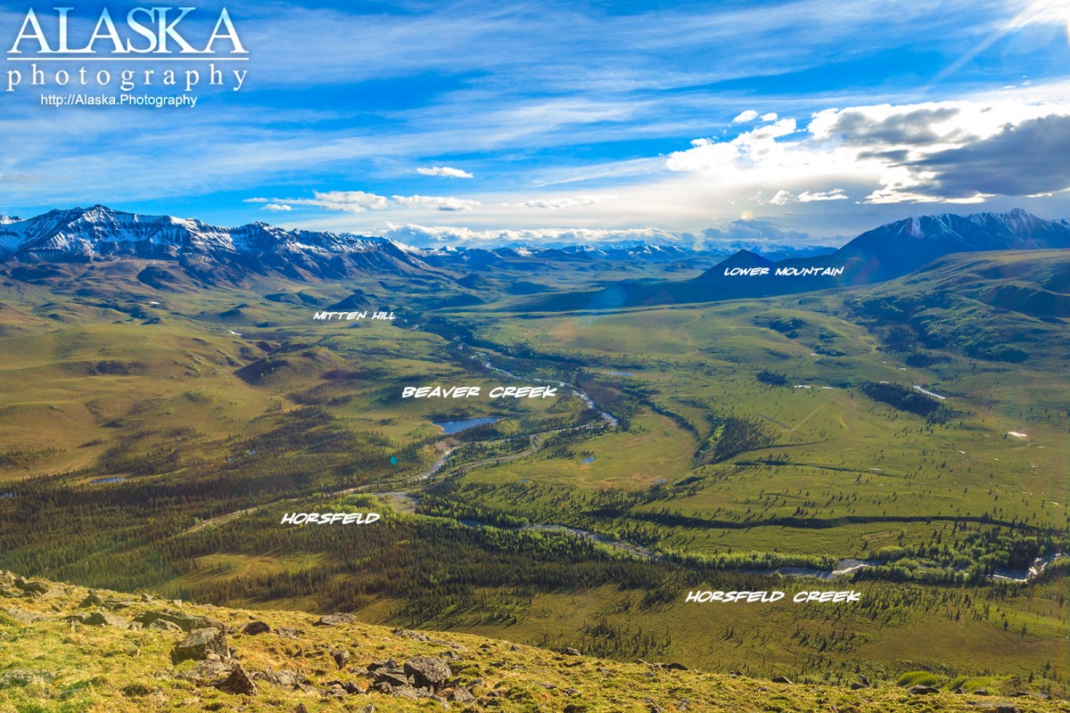
Beaver Creek, Carl Creek, Flat Creek, Horsfeld Creek, Klein Creek, Ophir Creek, Ptarmigan Creek, Sonya Creek, Willow Creek,
Elevation
4459 ft (1359.1 m)