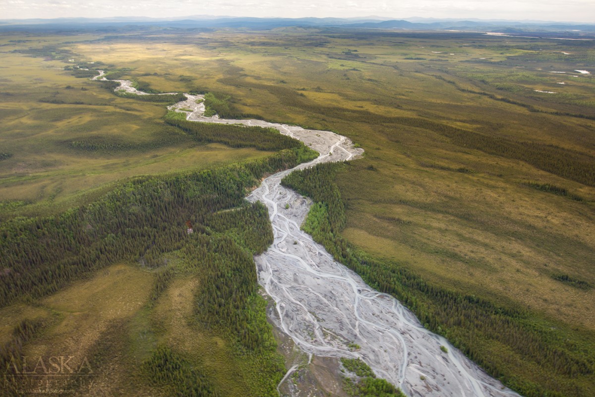
Information About

Stuver Creek

Quick Facts

Open in The Map Stuver Creek on The Map

Location

62 ° 50' 25.001" N,
141 ° 40' 7" W

Region

Southeast Fairbanks (CA)

Nearest City

Northway

Elevation

1729 ft (527 m)

Stuver Creek in Detail.

About

flows NE from Nutzotin Mts. 53 mi. to Chisana River 12 mi. SE of Northway, Alaska Range

History

Named in 1902 by D. C. Witherspoon, U.S. Geological Survey (USGS), for Charles H. Stuver, a member of the exploration party.

Stuver Creek Gallery

Pictures of, from, or near Stuver Creek.