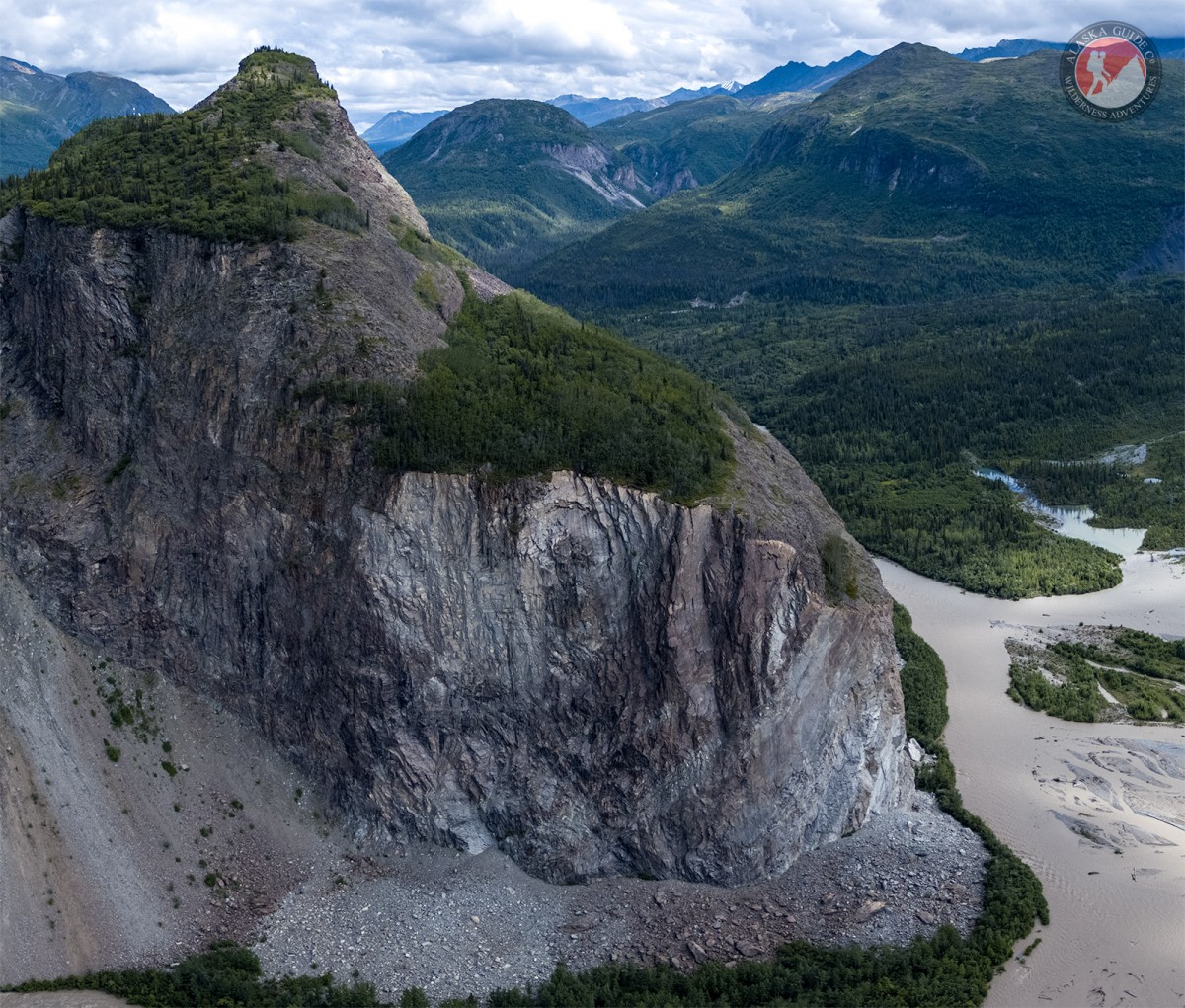
Information About

Rock Glacier Creek

Quick Facts

Open in The Map Rock Glacier Creek on The Map

Location

61 ° 47' 1" N,
147 ° 39' 5" W

Region

Matanuska-Susitna

Nearest City

Glacier View

Elevation

1801 ft (548.94 m)

Rock Glacier Creek in Detail.

About

In the Chugach Mountains, flowing NW to the Matanuska River, 0.3 mi E of Glacier Point, 50 mi. NE of Palmer, Chugach Mountains.

History

Named in 1956 by U.S. Geological Survey (USGS) for the rock glaciers located at its headwaters. A rock glacier is a tongue-like body of angular boulders similar to a small ice glacier that generally occurs at high altitude in rugged terrain.

Rock Glacier Creek Gallery

Pictures of, from, or near Rock Glacier Creek.