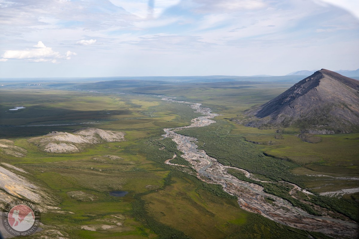
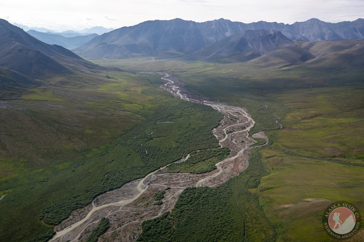
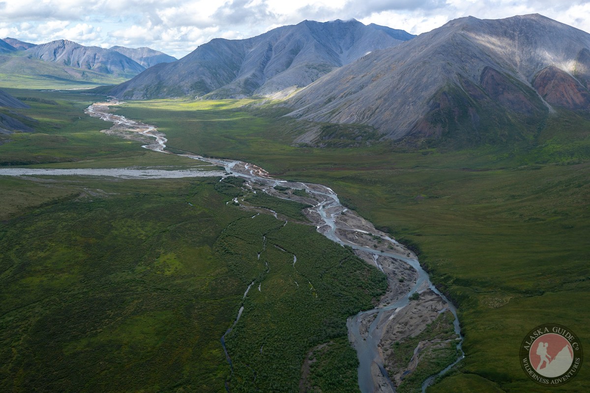
Information About

Juniper Creek

Quick Facts

Open in The Map Juniper Creek on The Map

Location

69 ° 40' 18.998" N,
147 ° 45' 41" W

Region

North Slope

Nearest City

Nuiqsut

Tributary to

Kavik River

Elevation

449 ft (136.86 m)

Juniper Creek in Detail.

About

Heads in Brooks Range at 690300N, 1462300W, 9 mi SW of Mount Salisbury and flowing N, NW, to the Shaviovik River, Arctic Plain.

History

Named in 1947 by G. P. Gryc, U.S. Geological Survey (USGS), for "rare growth of juniper along this stream." This is the only evergreen north of the Brooks Range.

Juniper Creek Gallery

Pictures of, from, or near Juniper Creek.

Places Near Juniper Creek
Streams:

Juniper Creek,