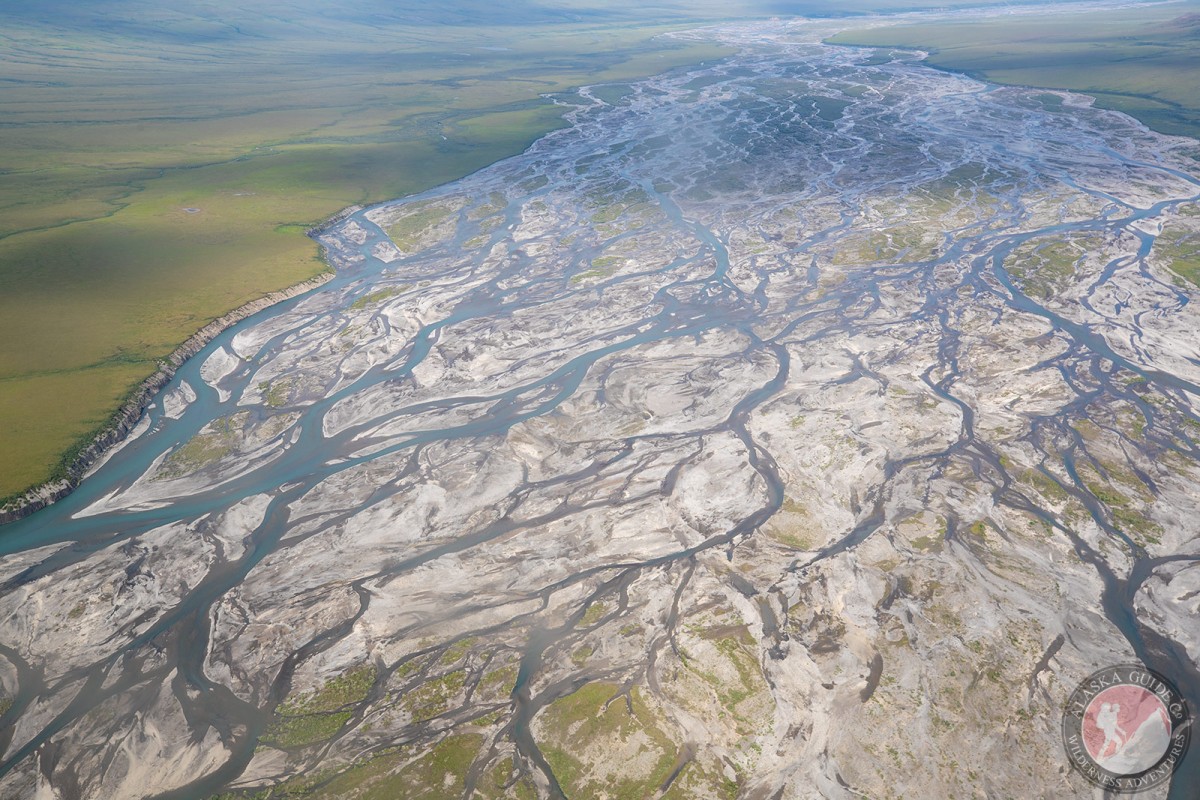
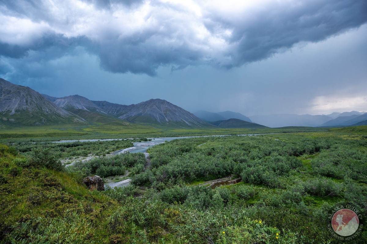
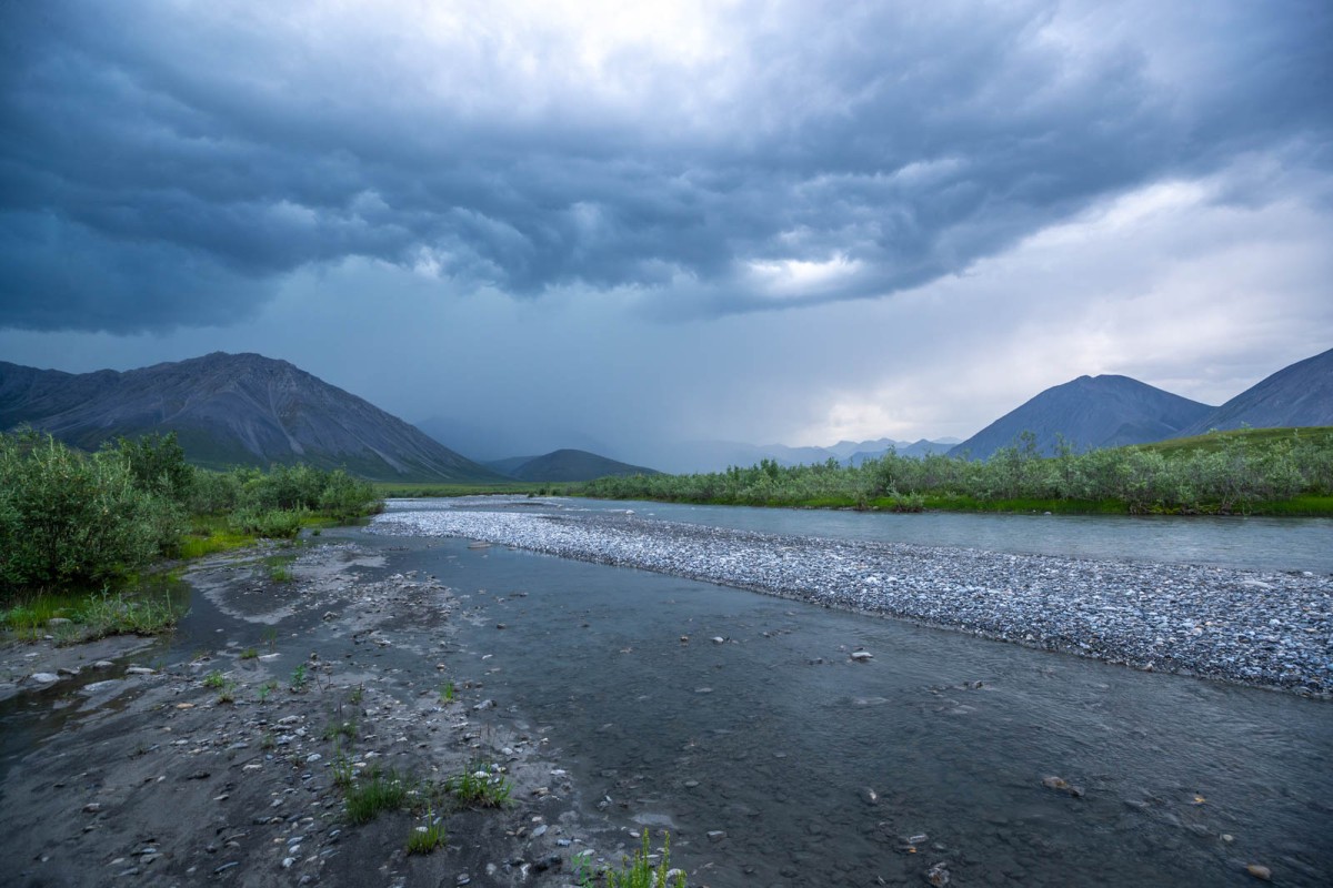
Information About

Canning River

Quick Facts

Open in The Map Canning River on The Map

Location

70 ° 4' 41.999" N,
145 ° 33' 56.002" W

Region

North Slope

Nearest City

Kaktovik

Tributaries

Cache Creek, Eagle Creek,

Canning River in Detail.

About

heads at glacier in Franklin Mts. at 690430N1450600W, and flows N to Camden Bay, Arctic Plain. 125 miles long.

History

On August 5, 1826, Franklin (1828, p. 149) wrote: "we arrived opposite to the large river, which was named in honour of the late Mr. Canning * * *." George Canning, 1770-1827, was British Prime Minister in 1827. The Eskimo name "Kogruak" first appears on Surg. John Simpson's native map of 1855, and is reported by Leffingwell (1919, p. 94) to mean "old river".

Canning River Gallery

Pictures of, from, or near Canning River.

Places Near Canning River
Rivers:

Canning River, Tamayariak River,

Related Articles
Almost Overlooked - Day 7
+
Almost Overlooked - Day 7

Hiking through possible tussocks with heavy packs...Boo! Another day of packrafting it is!