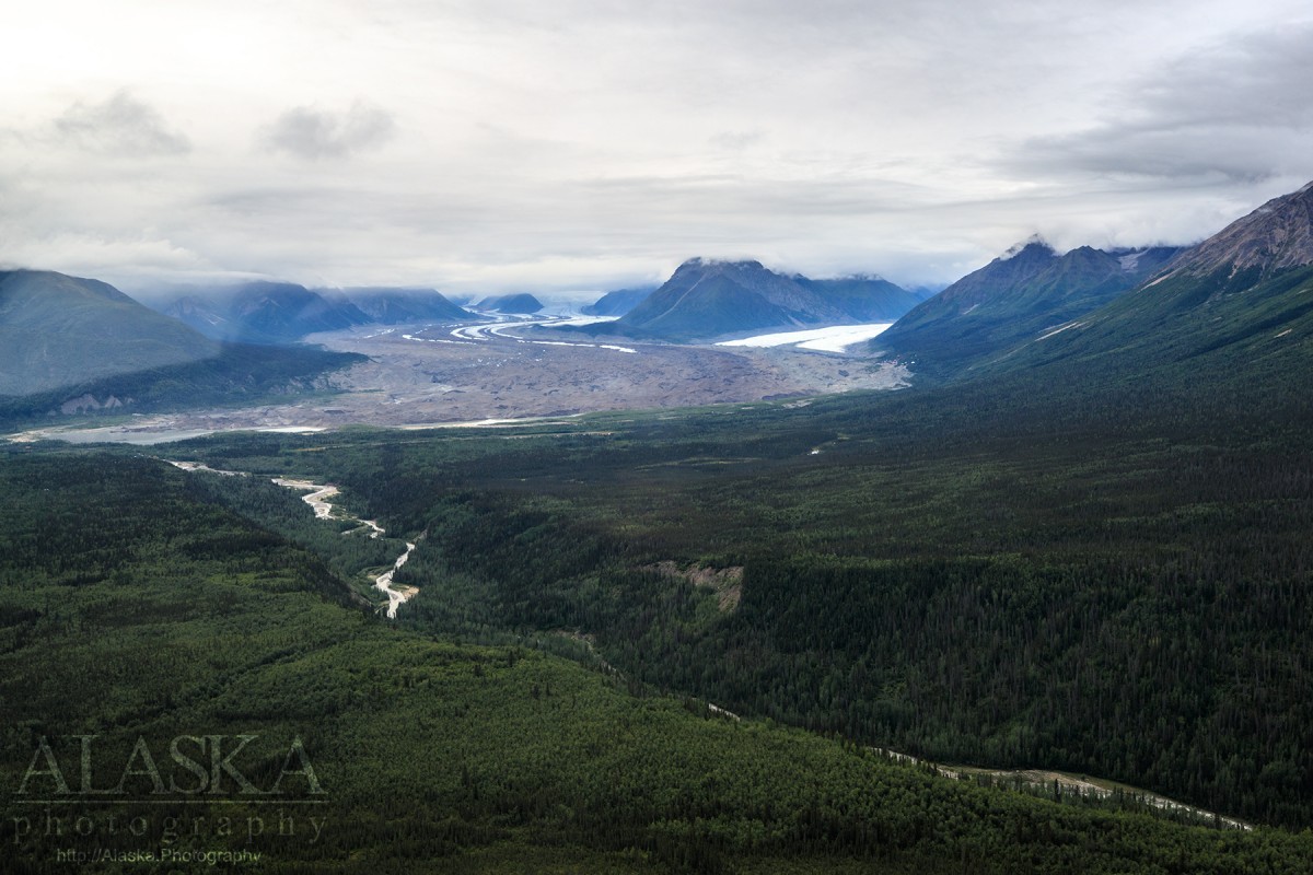
Information About

Bonanza Ridge

Quick Facts

Open in The Map Bonanza Ridge on The Map

Location

61 ° 31' 39" N,
142 ° 50' 26.002" W

Region

Valdez-Cordova (CA)

Nearest City

McCarthy

Elevation

6647 ft (2026.01 m)

Bonanza Ridge in Detail.

About

In the Wrangell Mountains, NE of McCarthy, trends NS as the divide between McCarthy Creek on the E and S and the Root and Kennicott Glaciers on the W. 15 miles long.

History

So named by E. M. MacKevett, Jr., U.S. Geological Survey (USGS), in 1965. Name "taken from BONANZA Peak* * * and from the nearby Bonanza mine, one of the famous Kennecott mines."

Bonanza Ridge Gallery

Pictures of, from, or near Bonanza Ridge.