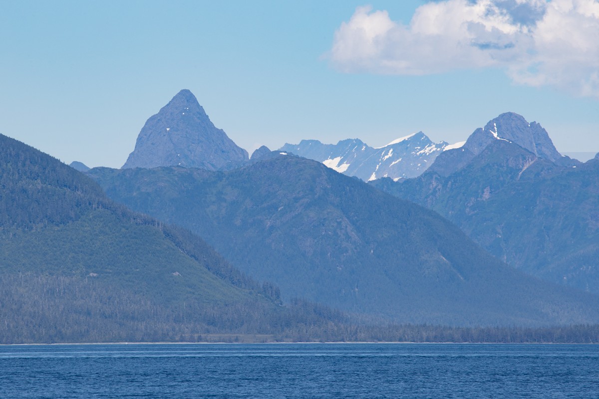
Information About

Mount Kelly

Quick Facts

Open in The Map Mount Kelly on The Map

Location

68 ° 28' 26" N,
163 ° 37' 45.998" W

Region

North Slope

Nearest City

Kivalina

Elevation

2877 ft (876.91 m)

Mount Kelly in Detail.

About

Located in the De Long Mountains, between the headwaters of Kukpowruk River and Kukpuk River, 40 mi. SE of Cape Sabine, Brooks Range

History

Name published in 1890 by U.S. Coast and Geodetic Survey (USC&GS). Named for "John W. Kelley, a bluff, level-headed prospector of middle age, with a full beard and an easy laugh" (Browner, 1944, pl. 112). Kelley (or Kelly) came to this area in 1887, and in 1891 took over the Pacific Steam Whaling Company station at Barrow. He is also noted for making a vocabulary list of Eskimo words.

Mount Kelly Gallery

Pictures of, from, or near Mount Kelly.