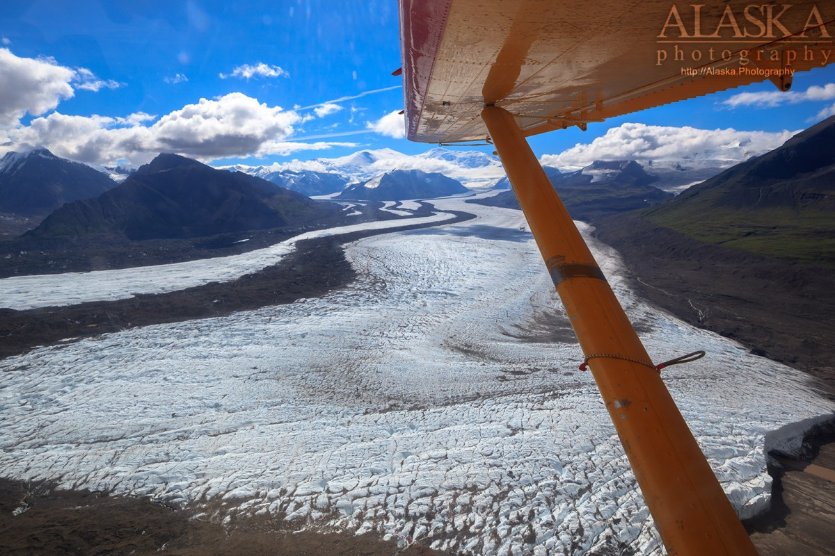
Charter a flight from McCarthy or Chitina.
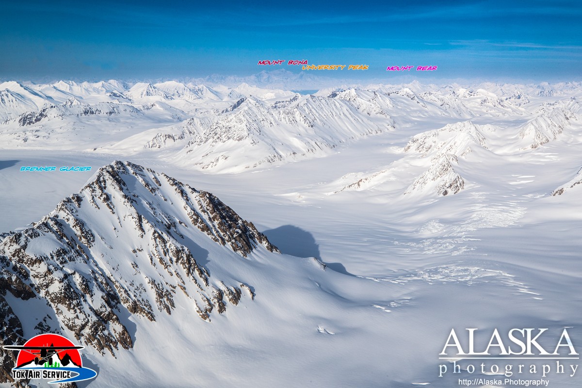
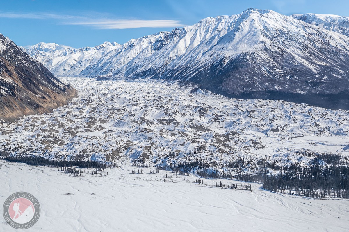
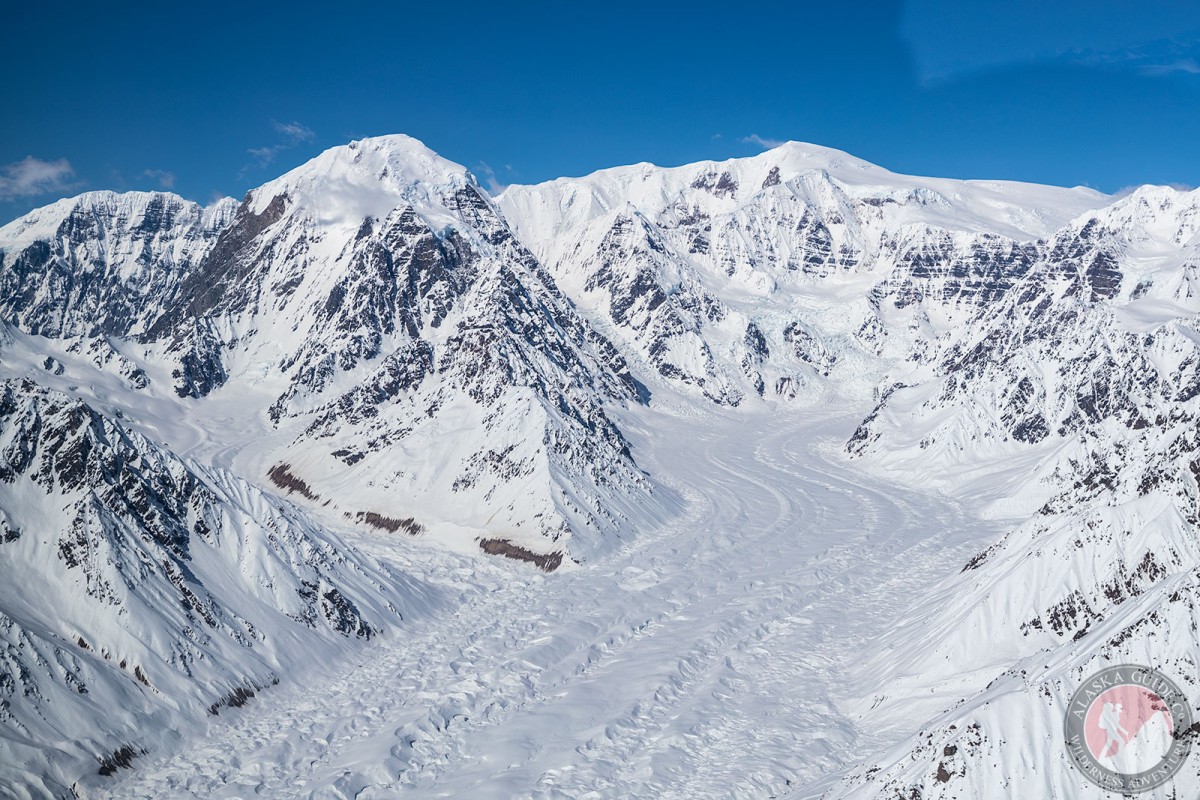
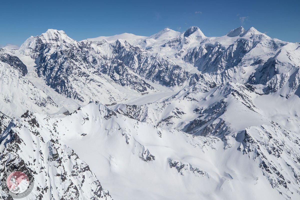
Mount Bona lies at the head of Russell Glacier to the north slope and Hawkins Glacier on the southern slope, 39 miles east of McCarthy, in the St. Elias Mountains and Wrangell-Saint Elias National Park.
As the 10 tallest peaks in the US are in Alaska, Mount Bona is naturally the 4th highest peak in both. While ranking 10th highest in North America. The summit has an isolation of nearly 50 miles. It lies next just south of Mount Churchill. Many climbers now days will summit Mt. Bona from the East Ridge and bag Mt. Churchill while they're at it. Most climbs are done within 10-14 days.
Named by Italian mountaineer and explorer, His Royal Highness, Prince Luigi Amedeo di Savoia, Duke of the Abruzzi, for the Bona, his racing yacht. (Filippi, 1900, p. 160). Its first ascent was made by Allen Carpe, Andrew Taylor, and Terris Moore on July 2, 1930 (Farquhar, 1959, p. 214). Carpe, Taylor, and Moore made their approach from the west on Russell Glacier.