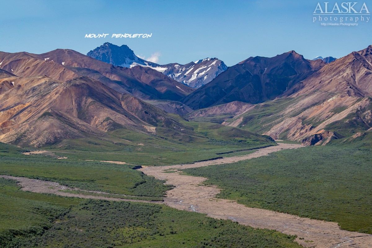
Information About

Mount Pendleton

Quick Facts

Open in The Map Mount Pendleton on The Map

Location

63 ° 24' 54" N,
149 ° 42' 28.001" W

Region

Denali

Nearest City

Cantwell

Elevation

7605 ft (2318 m)

Mount Pendleton in Detail.

About

In Denali National Park, 3 mi N of Easy Pass, 35 mi SW of the confluence of the Nenana River and the Yanert Fork, Alaska Range

History

Named in 1961 by U.S. Geological Survey (USGS) for Thomas Percy Pendleton (1886-1954) who, as a Topographic Engineer for the U.S. Geological Survey, mapped in this area in 1919.

Mount Pendleton Gallery

Pictures of, from, or near Mount Pendleton.