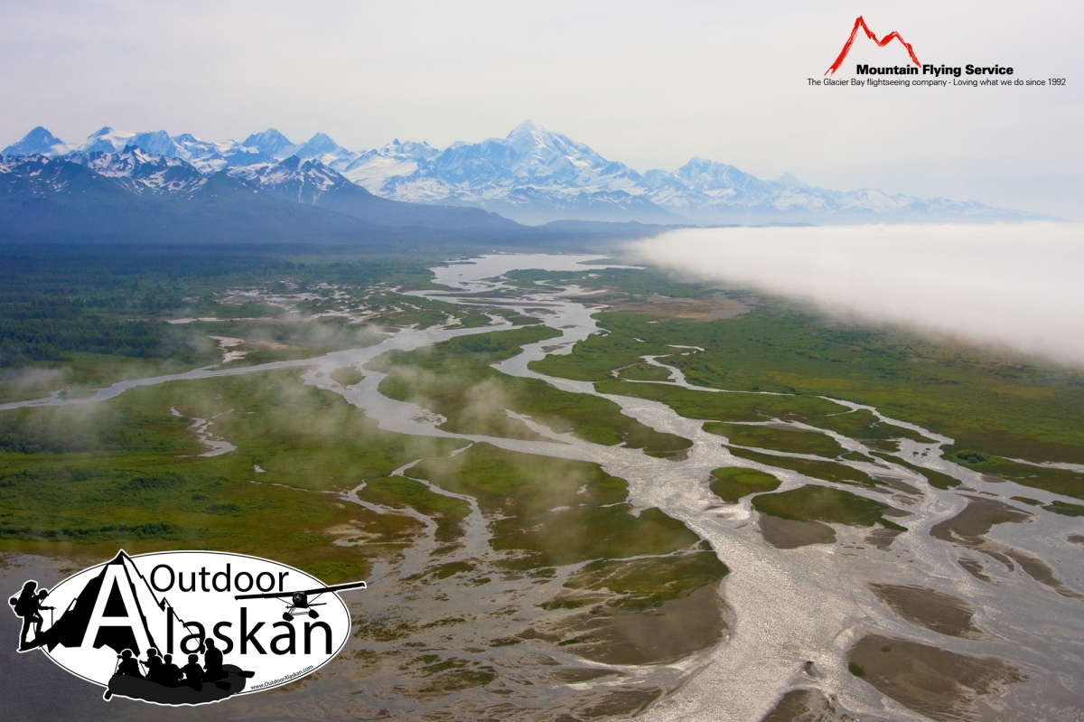
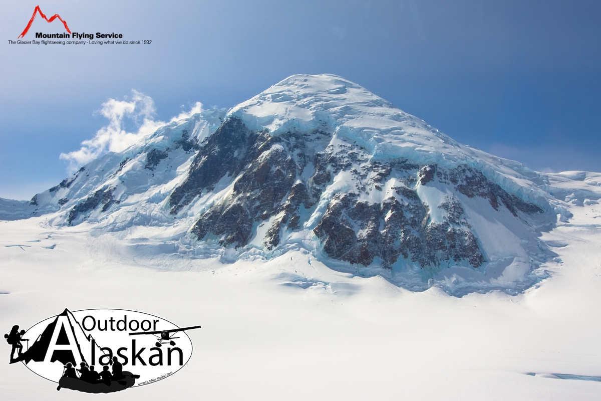
Information About

Fairweather Range

Quick Facts

Open in The Map Fairweather Range on The Map

Location

58 ° 40' 0.001" N,
137 ° 10' 0.001" W

Region

Hoonah-Angoon (CA)

Nearest City

Pelican

Elevation

10561 ft (3218.99 m)

Fairweather Range in Detail.

About

extends SE from Grand Pacific and Grand Plateau Glaciers to Cross Sound and Icy Strait, in Glacier Bay National Monument, 80 mi. NW of Hoonah, St. Elias Mts. 70 miles long.

History

The name was used by U.S. Coast and Geodetic Survey (USC&GS) in 1891 Coast Pilot (p. 207), and name presumably derived from Mount Fairweather, the highest peak in the range.

Fairweather Range Gallery

Pictures of, from, or near Fairweather Range.