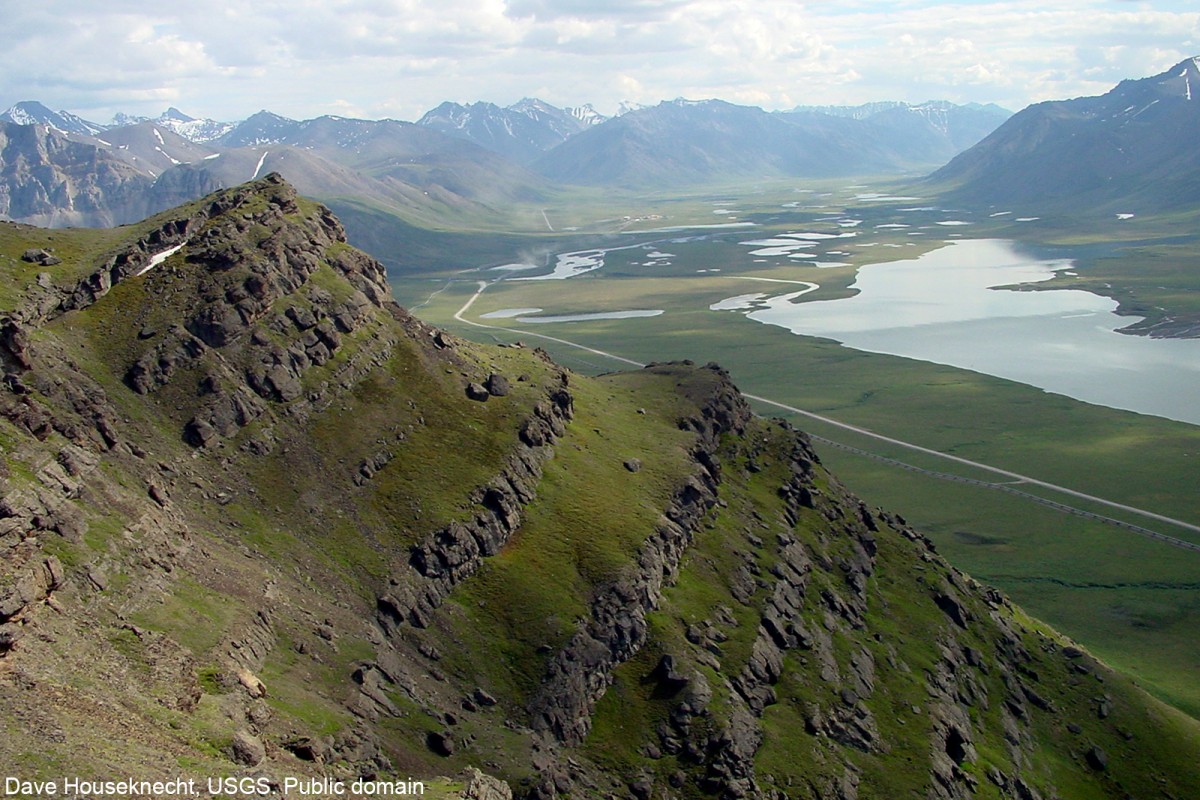
Information About

Galbraith Lake

Quick Facts

Open in The Map Galbraith Lake on The Map

Location

68 ° 27' 33.574" N,
149 ° 25' 37.938" W

Region

North Slope

Nearest City

Wiseman

Length

3.6 mi (5.79 km)

Elevation

2621 ft (798.88 m)

Galbraith Lake in Detail.

About

Near NE end of Endicott Mountains, on the W side of the Atigun River, 12 mi. NE of Itkillik Lake, 27 mi SW of Elusive Lake, Brooks Range. 3.6 miles long.

History

Named by U.S. Geological Survey (USGS) geologists in 1951 for "Barth Galbraith, a bush pilot who was lost while flying * * *" in the area. "Natravak" is the Eskimo name which means "big lake," a common name in northern Alaska.

Galbraith Lake Gallery

Pictures of, from, or near Galbraith Lake.

Places Near Galbraith Lake
Lakes:

Galbraith Lake, Toolik Lake,