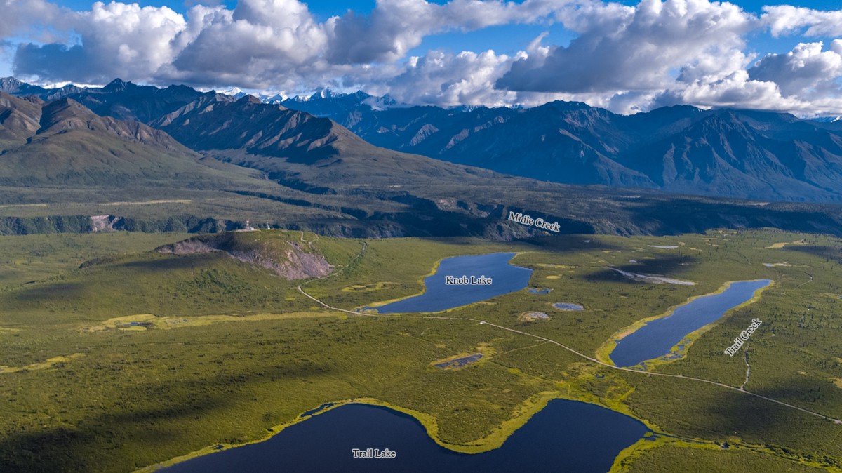
Information About

Trail Creek

Quick Facts

Open in The Map Trail Creek on The Map

Location

61 ° 49' 10.999" N,
147 ° 23' 25.001" W

Region

Matanuska-Susitna

Nearest City

Eureka

Elevation

2461 ft (750.11 m)

Trail Creek in Detail.

About

heads in a lake flows SW through Trail Lake to East Fork Matanuska River 60 mi. NW of Valdez, Copper River Basin.

History

Local name reported in 1951 by U.S. Geological Survey (USGS).

Trail Creek Gallery

Pictures of, from, or near Trail Creek.