Information About

Chilkoot River

Quick Facts

Open in The Map Chilkoot River on The Map

Location

59 ° 22' 26" N,
135 ° 37' 30" W

Region

Haines

Nearest City

Haines

Tributary to

Lutak Inlet

Tributaries

Chilkoot Lake,

Length

12 mi (19.31 km)

Elevation

30 ft (9.14 m)

Uses

Fishing, White Water Kayaking
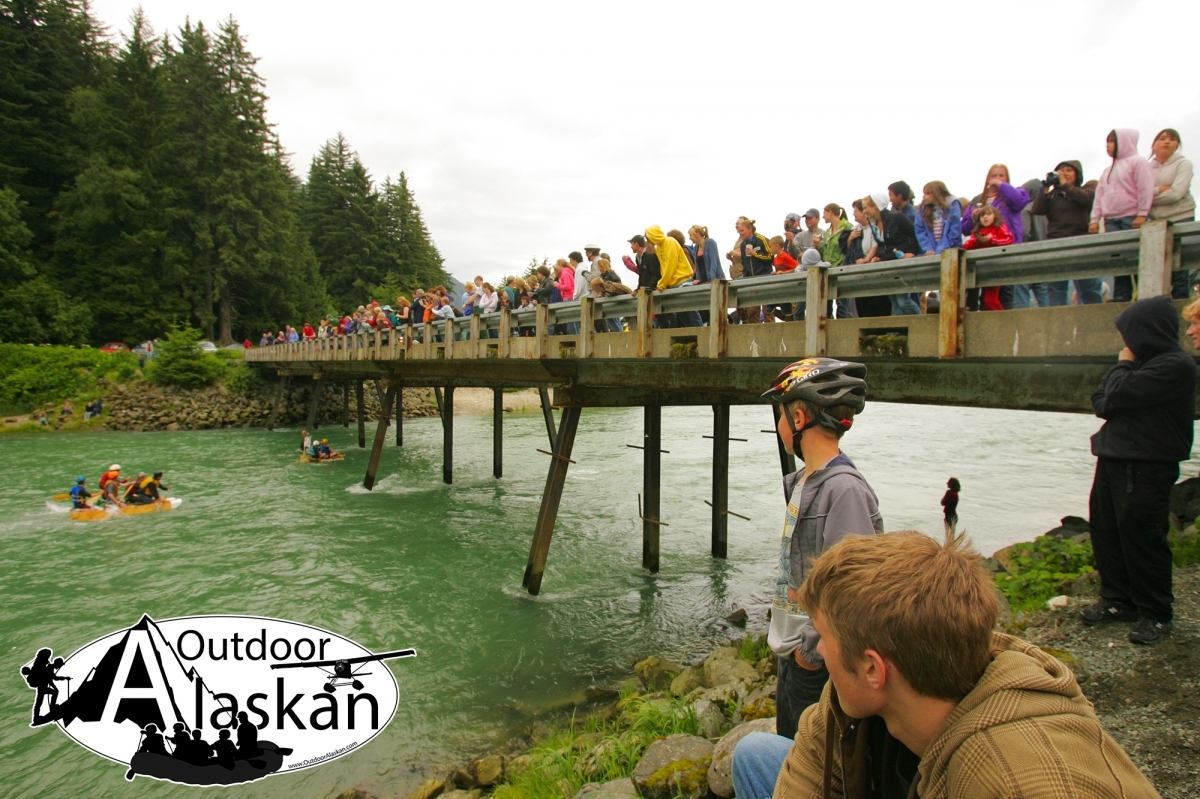
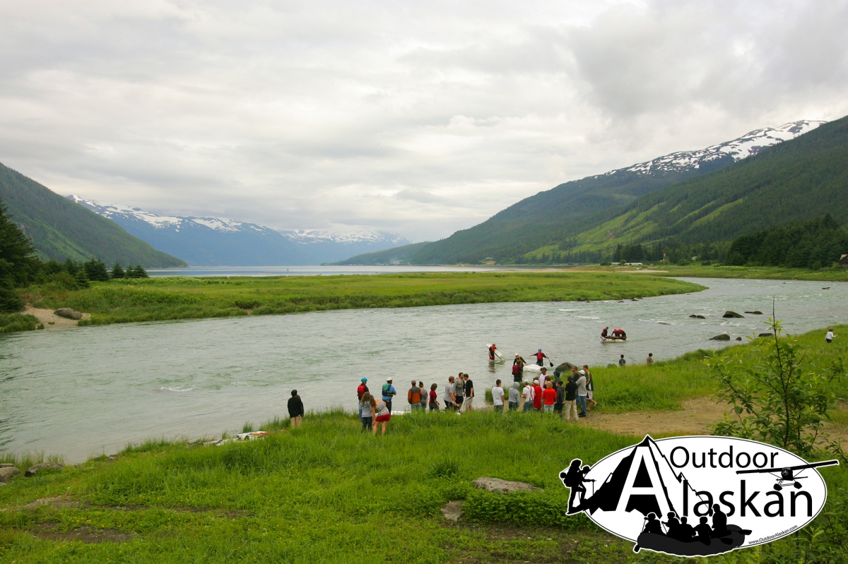
Events

Mad Raft Race

Chilkoot River in Detail.

About

heads at glacier terminus, flows SE, through Chilkoot Lake, to Lutak Inlet, 12 mi. SW of Skagway, Coast Mts. 20 miles long.

History

Tlingit Indian name published by U.S. Coast and Geodetic Survey (USC&GS) in the 1883 Coast Pilot as "Chilcoot". The Tlingit name "Katschkahin" was recorded, by Aurel and Arthur Krause (1883, map), for the part of the river above the lake. The part of the river between Lutak Inlet and Chilkoot Lake was called "Deyea" on U.S. Navy Hydrographic Chart 883 in 1881.

Chilkoot River Gallery

Pictures of, from, or near Chilkoot River.