62 ° 35' 55" N,
164 ° 48' 0" W
Wade Hampton (CA)
1500 mi (2414.02 km)
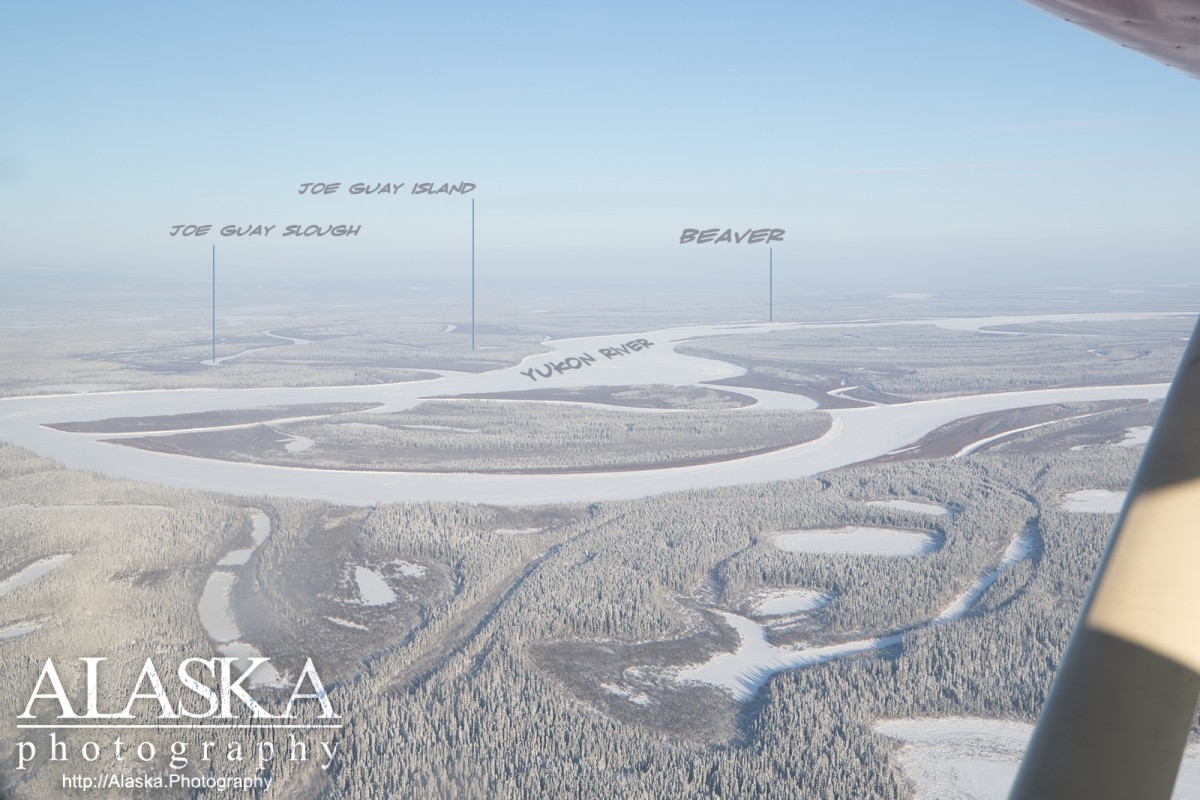
Ickes Slough, Main Channel, Alakanuk Pass, Andreafsky River, Anuzukanuk Pass, Anvik River, Atchuelinguk River, Atutsak River, Azacharum Slough, Bessy Slough, Big Bend Slough, Big Salt River, Bonasila River, Bonasila Slough, Bootlegger Slough, Chandalar River, Circle Slough, Dall River, Deadmans Slough, Driftwood Slough, Fortymile River, Hadweenzic River, Hardluck Slough, Holtilyet Slough, Honeymoon Slough, Jimmy Slough, Kala Slough, Khotol River, Koyukuk River, Ladue River, Lamont Slough, Little Dall River, Louden Slough, Mason Slough, Melozitna River, Ninemile River, Nowitna River, Nulato River, Nuntragut Slough, Patsy Slough, Patsys Slough, Pilot Mountain Slough, Porcupine River, Ray River, Red Wing Slough, Rodo River, Soonkakat River, Summer Slough, Tanana River, Thirtytwo Kazyga Slough, Tozitna River, Tunuigak Slough, Twelvemile Slough, Twin Slough, Utakaht Slough, Walker Slough, Yankee Slough, Yokontoh Slough, Yuki River, Back Yukon Slough, Bering Slough, Clayhill Slough, Corbusier Slough, Crazy Slough, Fish Slough, Hodzana Slough, Jackson Slough, Jim Karse Slough, Joe Guay Slough, Kings Slough, Lower Birch Creek Slough, Mail Slough, Marten Slough, Pike Slough, Tozitna Slough, Whiskey Jack Slough, Bear Creek, Bear Creek, Bear Creek, Bear Creek, Bear Creek, Beaver Creek, Beaver Creek, Beaver Creek, Big Creek, Garnet Creek, Grant Creek, Illinois Creek, Moose Creek, Quartz Creek, Rogers Creek,