Information About

Agashashok River

Quick Facts

Open in The Map Agashashok River on The Map

Location

67 ° 15' 59" N,
162 ° 38' 1" W

Region

Northwest Arctic

Nearest City

Kotzebue

Elevation

7 ft (2.13 m)

Agashashok River in Detail.

About

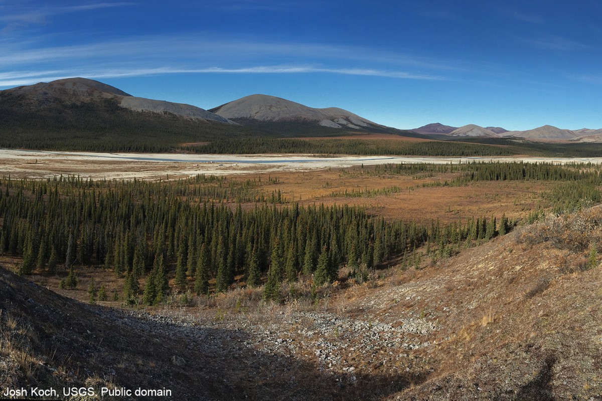
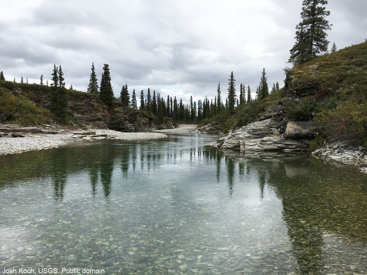
Heads in the Baird Mountains, flowing SW to the Noatak River on the N sode of the Igichuk Hills. 50 miles long.

History

Eskimo name reported by P.S. Smith in 1913.

Agashashok River Gallery

Pictures of, from, or near Agashashok River.

Places Near Agashashok River
Hills:

Alapak Hill, Mamelak Mountain, Napaktuktuk Mountain, Omalik Hill,

Lakes:

Aliktongnak Lake,

Mountains:

Avingoriak Peak,

Mountain Passes:

Sevisok Slough,

Mountain Ranges:

Igichuk Hills,

Rivers:

Agashashok River,

Streams:

Knapp Creek, Mamelak Creek, Saninak Creek,

Valleys:

Lower Noatak Canyon,