Quick Facts
heads on S slope of Sadlerochit Mts., flows W in valley thence N through mountain passes and 30 mi. NE to Camden Bay, 3 mi. W of Collinson Point and 25 mi. SE of Flaxman I., Arctic Plain
HistoryEskimo name reported by Leffingwell (1919, p. 96) to possibly mean "a narrow place," presumably referring to the canyon it has cut through the range . Orth was told in 1956 that the name means "many falls." U.S. Coast and Geodetic Survey (USC&GS) in 1948 reported another version of the meaning, "looks open," referring to the appearance of the stream from the sea.
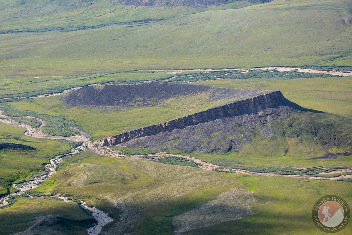
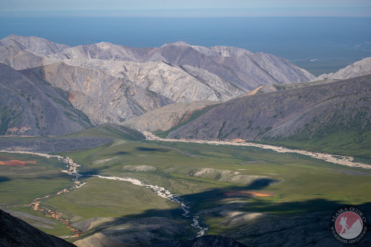
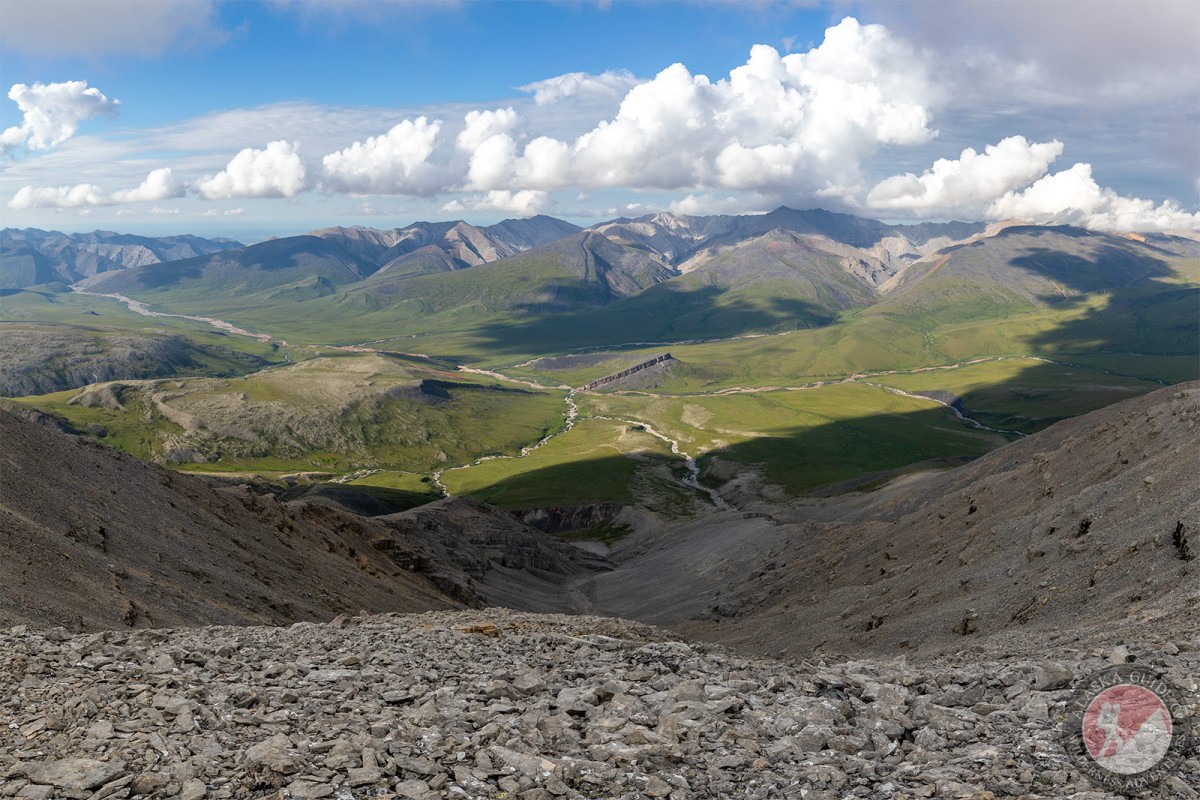
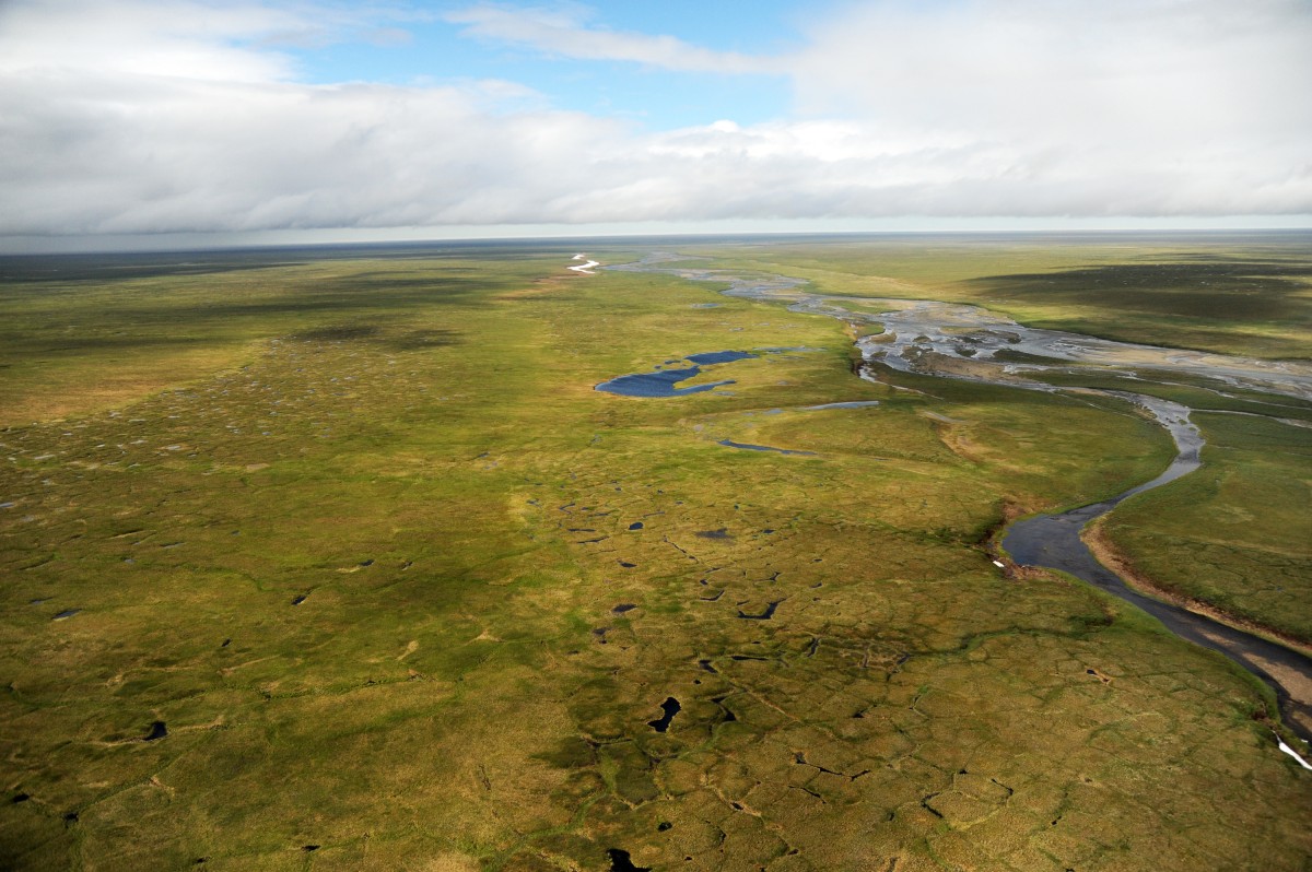
Pictures of, from, or near Katakturuk River.