Mount Foraker Gallery
Pictures of, from, or near Mount Foraker.
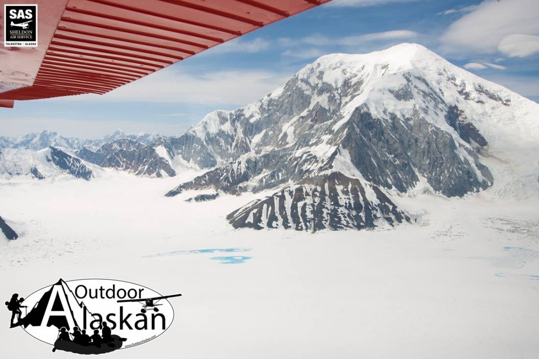
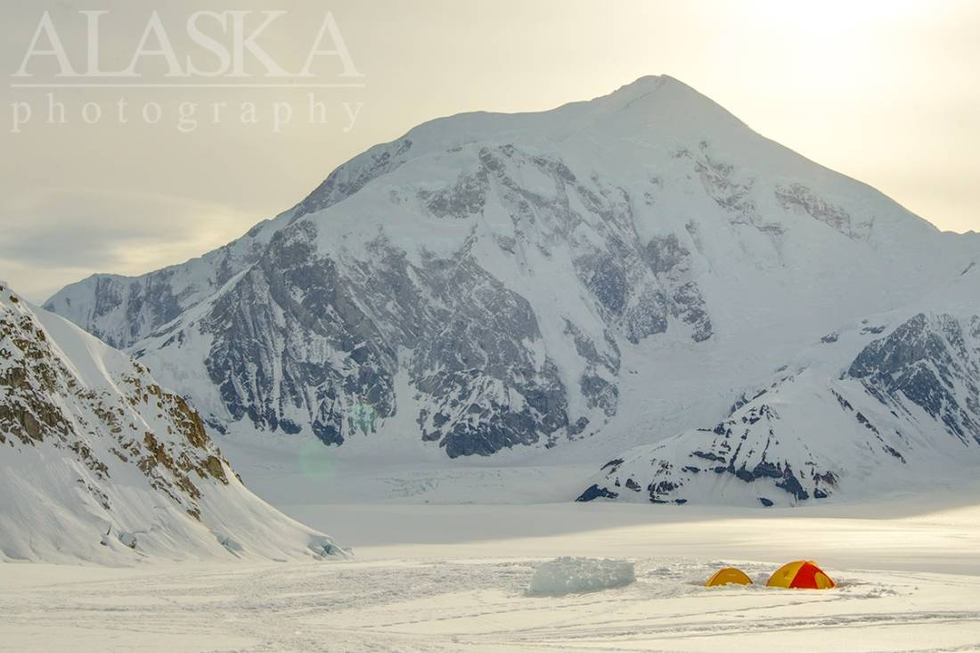
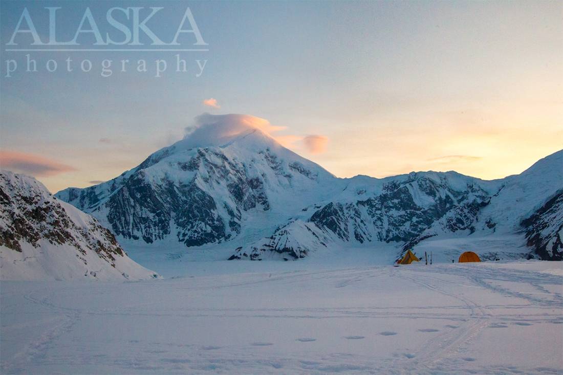
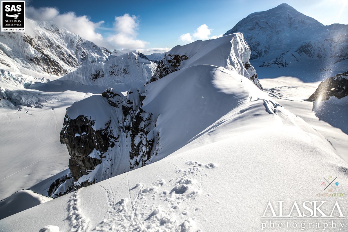
At 17,400 ft., Mount Foraker stands at the head of Foraker Glacier, in Denali National Park, as the sixth tallest mountain in North America.
Most people access Mt. Foraker by a flight out of Talkeetna. They are dropped at Denali Base Camp on the southeast fork of the Kahiltna Glacier. From there they trek across the Kahiltna Glacier and up the southeast face of Mt. Crosson then southwest along Crosson Ridge.
Named in 1899 by Lieutenant J.S. Herron, USA, for Joseph Benson Foraker, 1846-1917, U.S. Senator from Ohio. Its North Peak was first climbed August 6, 1934, and its South Peak was climbed August 10, 1934, by C.S. Houston, T.G. Brown, and Chychele Waterston (Farquhar, 1959, p221). This peak, along with Mount McKinley (now Denali) was called "Bolshaya Gora", or "big mountain", by the Russians. The Tanana Indians of the Susitna River valley and Tanana Indians to the north are reported to have had the same name [Denali] for Mount Foraker as they had for Mount McKinley, and it appears as if the names were not applied to individual peaks but instead to the Mount McKinley (now Denali) massif. The Tanana Indians in the Lake Minchumena area, however, had a broadside view of the mountains and thus gave distinctive names to each. According to Reverend Hudson Stuck, these Indians had two names for Mount Foraker: "Sultana" meaning "the woman" and "Menlale" meaning "Denali's wife".
Foraker Glacier, Herron Glacier, Kahiltna Glacier, Straightaway Glacier,
Locales:Mountains:Bat's Ears, Mount Capps, Mount Crosson, Mount Foraker, Kahiltna Dome, Peters Dome, Spygalls Hill,
Mountain Passes:Peaks:The Fin, Mount Laurens, Voyager Peak,
Ridges:Pictures of, from, or near Mount Foraker.