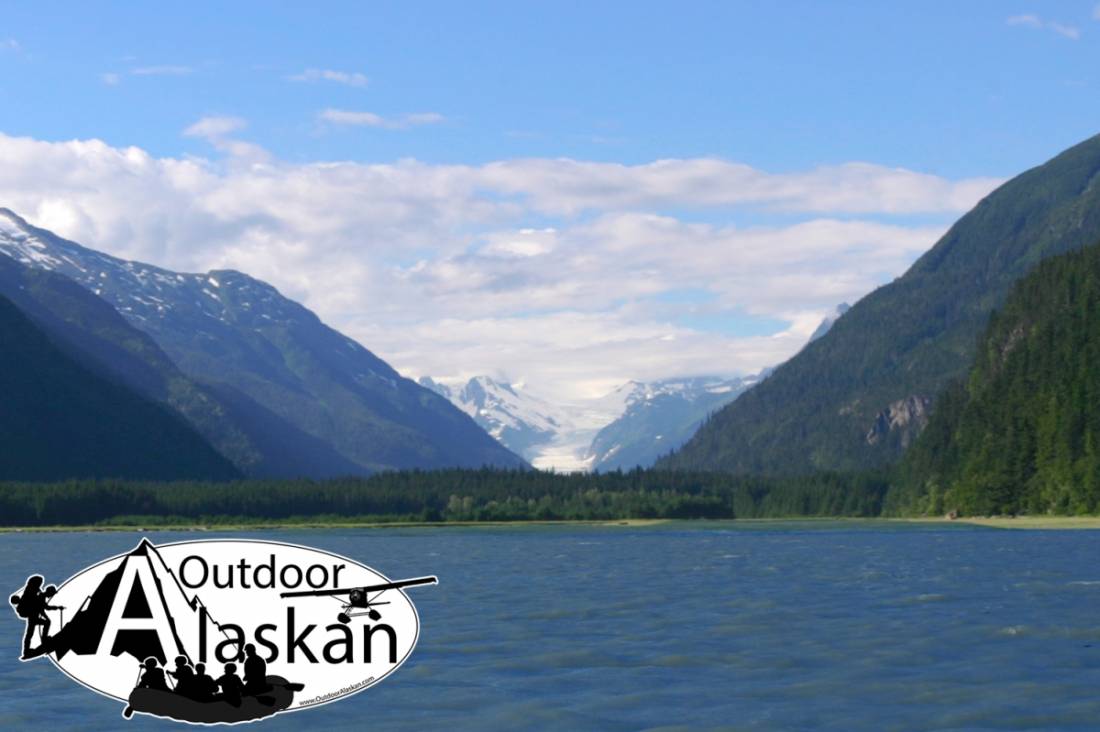
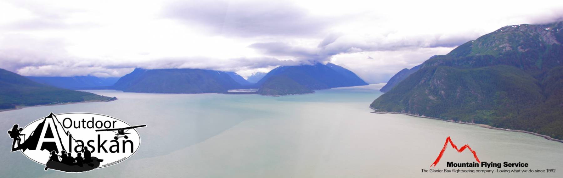
Ferebee Glacier Gallery
Pictures of, from, or near Ferebee Glacier.
heads at 594500N1354000W, trends SE 9 mi. to its terminus, 4.4 mi. W of Parsons Peak and 9 mi. NW of Skagway; Coast Mts.
named by the U.S. Navy in 1880 for surgeon Nelson MacPherson Ferebee, U.S. Navy (USN), who visited the region in 1880. published by U.S. Coast and Geodetic Survey (USC&GS) in the 1883 Coast Pilot (p. 200). to Krause (1883, map), the Tlingit Indian name is "Dejahssankessit."
Chilkat Glacier, Ferebee Glacier, Irene Glacier,
Lakes:Mountains:Cathedral Peak, Face Mountain, Mount Harding, Mount Kashagnak, Mount Yeatman,
Parks:Chilkoot Lake State Recreation Area,
Peaks:Lactic Acid Peak, Nelson Tower,
Mountain Ranges:Ridges:Rivers:Streams:Valleys:Cities:Pictures of, from, or near Ferebee Glacier.