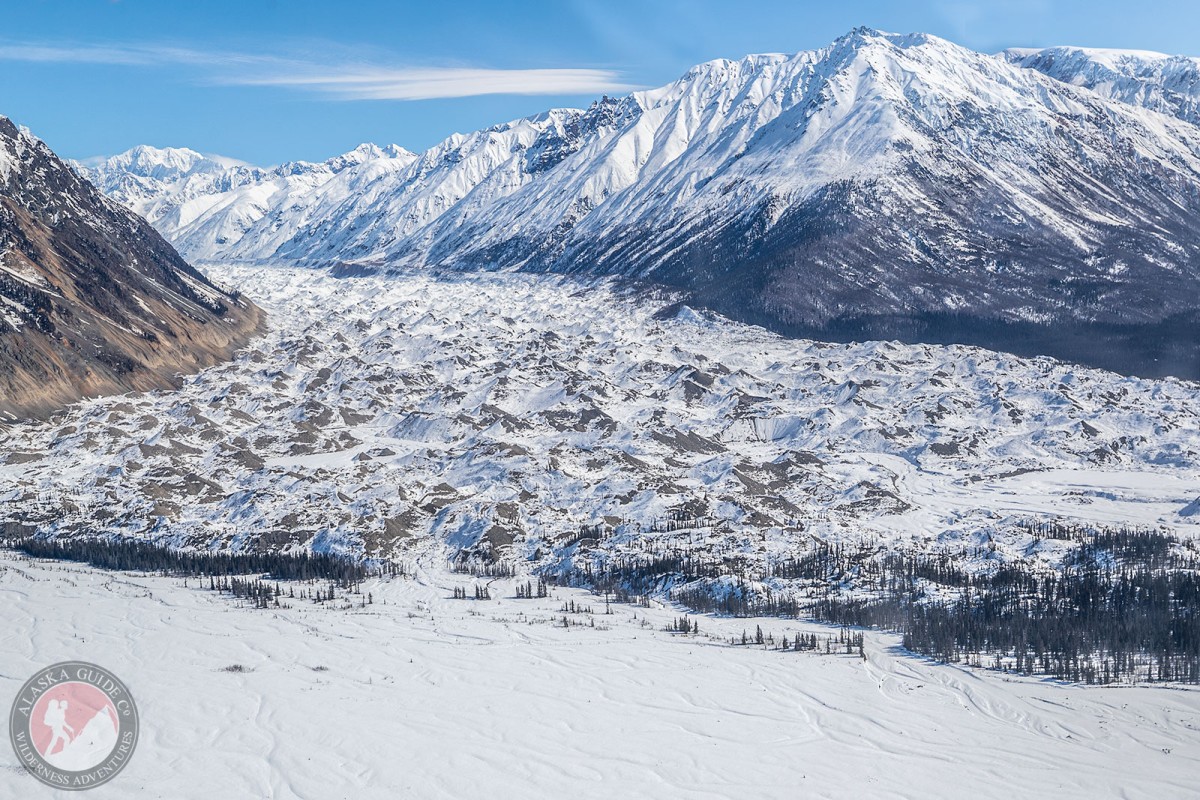
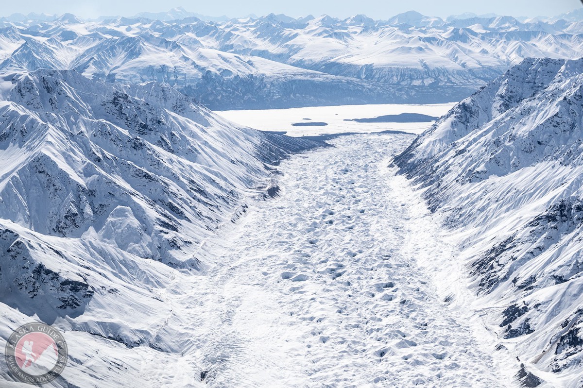
Information About

Hawkins Glacier

Quick Facts

Open in The Map Hawkins Glacier on The Map

Location

61 ° 13' 59.002" N,
141 ° 53' 37" W

Region

Valdez-Cordova (CA)

Nearest City

McCarthy

Length

22 mi (35.41 km)

Elevation

3842 ft (1171.04 m)

Hawkins Glacier in Detail.

About

trends SW from Mount Bona to its terminus at Chitina River W of Barnard Glacier, 37 mi. SE of McCarthy, St. Elias Mts. 22 miles long.

History

Local name shown on undated fieldsheet by F. H. Moffit, U.S. Geological Survey (USGS), presumebly drafted about 1910.

Hawkins Glacier Gallery

Pictures of, from, or near Hawkins Glacier.