Fairbanks Gallery
Pictures of, from, or near Fairbanks.
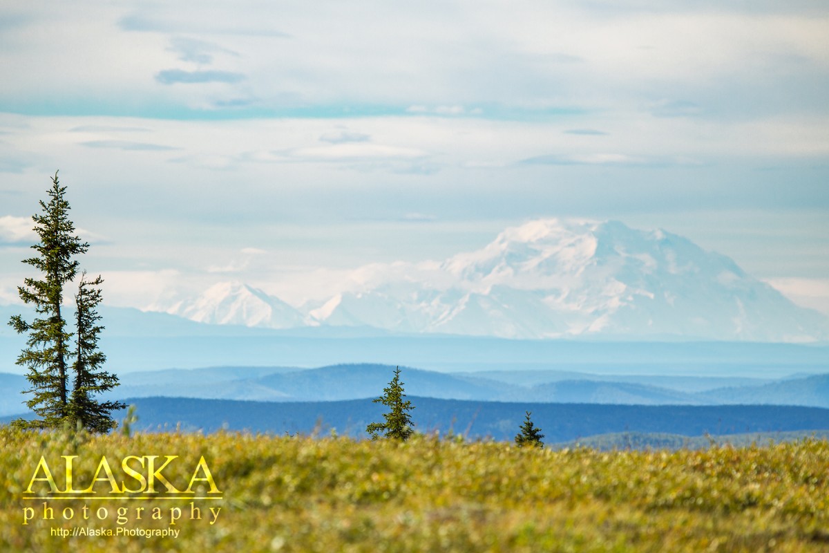
On the Chena River, Tanana Low.
Fairbanks, "The Golden Heart City", is the second largest city in Alaska, largest in interior Alaska. It sits just over 100miles south of the arctic circle. Fairbanks itself is relatively flat with hills and domes to it's north. The hiking trails are at least a half hour outside of Fairbanks and there are only a handful of them, rock climbing if not on a man-made wall is about 45 mins away. It's great for bicycling with many walk and biking paths, many paved trails too, the ones along Farmers Loop and UAF are usually good enough to longboard.
It has nice museums and parks, and has done a good job of preserving and displaying history for the public.
The best things about Fairbanks are the good northern lights viewing just outside of the city, the extreme cold, and it's aviation access to so many remote places in the interior.
The temperature in Fairbanks can span 170° between winter and summer. Winters in Fairbanks usually start in mid October and last to mid April.
Fairbanks host an international airport so it is easily accessible.
The Alaska Highway merges with the Richardson Highway to bring people directly to Fairbanks if they don't turn south. From Anchorage the Parks Highway runs north past Denali and up to Fairbanks.
Founded in 1901 when a trading post was established here by E. T. Barnette, First called "Barnettes Cache," the name was changed in 1902 to honor Charles Warren Fairbanks, 1852-1918, Senator from Indiana and later Vice President of the United States under Theodore Roosevelt. The town began as the supply center for the mining region to its north after gold was discovered by Felix Pedro in 1902, and has since become the commercial and transportation hub of north and central Alaska. Its population was 3,541 in 1910, 1,555 in 1920, 3,455 in 1939, and 5,771 in 1950. The Fairbanks post office was established in 1903.
Chena, Dome Camp, Engineer, Gilmore, Pedro Camp, Vault,
Cities:Hills:Clear Creek Butte, Lakloey Hill, Sage Hill,
Islands:Bentley Island, Garden Island, Goose Island, Haines Island, Haines Islands, Loper Island, Meridian Island, Morgan Island, Wenrich Island,
Lakes:Ballaine Lake, Caribou Lake, Goldstream Lakes, Lake Killarney, Liwa Lake, Lundgren Pond, Middle Lake, Monterey Lake, Lake Paul, Reindeer Lake, Sirlin Drive Pond, Smith Lake, Star Lake,
Mine:Bridgewater Pit (historical), Fairbanks Pit,
Mountains:Approach Hill, Birch Hill, Chena Ridge, Mount Lulu Fairbanks, Tungsten Hill,
Parks:Bentley Park, Chena River State Recreation Site, Growden Memorial Park, Troth Yeddha- Park,
Ridges:Rivers:Streams:Streams:Any Creek, Babe Creek, Bear Creek, Big Eldorado Creek, Calder Creek, Clear Creek, Clear Creek, Columbia Creek, Cripple Creek, Deadman Slough, Eagle Creek, Engineer Creek, Eureka Creek, First Chance Creek, Flume Creek, Fox Creek, Frenchman Creek, Gilmore Creek, Glenn Creek, Gold Run, Happy Creek, Hattie Creek, Independence Creek, Isabella Creek, Jessila Creek, Jussila Creek, Little Blanche Creek, Little Queenie Creek, McDonald Creek, Monte Cristo Creek, Moose Creek Number 1, Moose Creek Number 2, Murray Creek, O-Connor Creek, Our Creek, Pearl Creek, Pedro Creek, Rose Creek, Saint Patrick Creek, Sargent Creek, Seattle Creek, Silver Creek, Steamboat Creek, Treasure Creek, Wigwam Creek, Wildcat Creek, Windy Creek,
Routes:Bonnifield Trail, Grapefruit Rocks,
Valleys:French Gulch, Irish Gulch, Silver Gulch, Tungsten Gulch,
Cities:Aurora, Badger, Bjerrmark, Broadmoor, Clear Creek Park, College, Dennis Manor, Dogpatch, Graehl, Hamilton Acres, Lemeta, Musk Ox, Slaterville, South Fairbanks, Totem Park, Westgate,
Pictures of, from, or near Fairbanks.